|
|
|
|
|
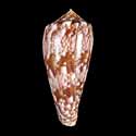
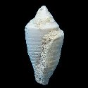
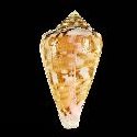
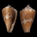
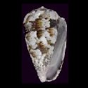
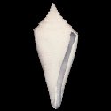
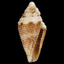
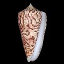
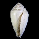
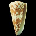
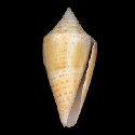
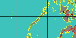
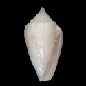
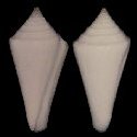
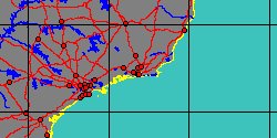
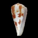
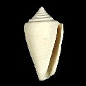
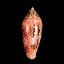
2140001650
Virgiconus
kintoki
(T. Habe & S. Kosuge,
1970)
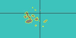
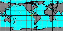
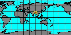
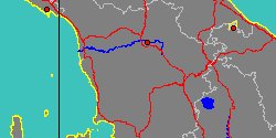
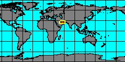
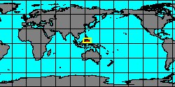
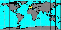
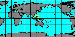
Philippines, Balut Island
104,4 mm
|
|
|
|
|
|
|
|
|
|
|
|
|
|
|
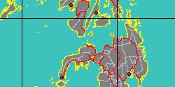
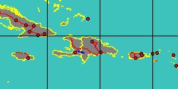
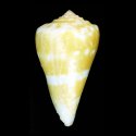
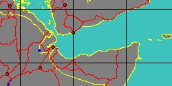
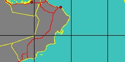
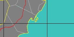
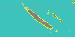
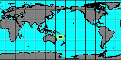
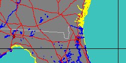
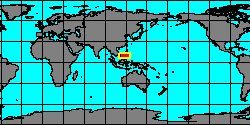
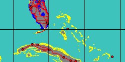
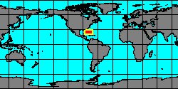
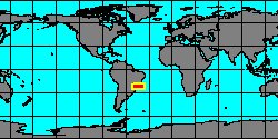
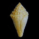
5346000225
Embrikena
kostini
R.M. Filmer, A. Monteiro
& al., 2012
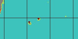
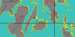
Philippines, Balut Island
|
|
|
|
|
|
|
|
|
|
|
|
|

|
|
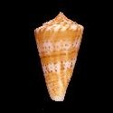
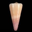
7332000668
Conus
kutaiensis
(FOSSIL)
Beets, 1983 †
|
|
No Georeferenced data available
|
|
|
|
|
|
|
|

|
|
7332000627
Conus
lacteus
L.A. Reeve, 1844
|
|
No Georeferenced data available
|
|
|
|
|
|
|
|
|
|
7332000824
Conus
lamarckii
(FOSSIL)
Edwards, 1856 †
|
|
No Georeferenced data available
|
|
|
|
|
|
|
|
|
|
7332000629
Conus
lar
A.A.H. Lichtenstein, 1794
|
|
No Georeferenced data available
|
|
|
|
|
|
|
|
|
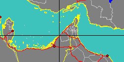
5346001729
Conus
larvatus
(FOSSIL)
H.A. Pilsbry & Johnson,
1922 †
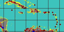
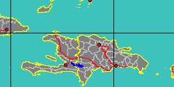
Dominican Republic,
Santiago Rodríguez
|
|
|
|
|
|
|
|
|
|
|
|
5346001730
Conus
laurenae
(FOSSIL)
E.J. Petuch, 1994 †
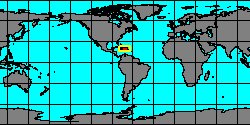
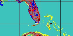
Florida, Highlands County
25 mm
|
|
|
|
|
|
|
|
|
|
|
6466000105
Conus
lebruni
(FOSSIL)
G.P. Deshayes, 1865 †
France, Paris Basin
24 mm
|
|

|
|
|
|
|
|
|
|
|
|
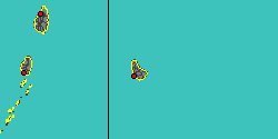
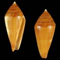
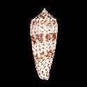
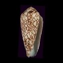
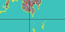
2140001680
Cylinder
legatus
(J.B.P.A. Lamarck, 1810)
Philippines, Olango Island
27,1 mm
|
|
|
|
|
|
|
|
|

|
|
6466000106
Conus
lemoni
(FOSSIL)
E.J. Petuch, 1990 †
Florida
68 mm
|
|
|
|
|
|