|
 |
 |
 |
| FAMILY list (thumbnails) |
 |
 |
 |
 |
| FAMILY list (names only) |
 |
 |
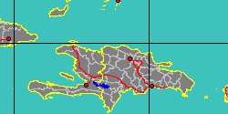
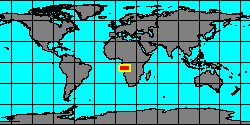
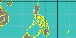
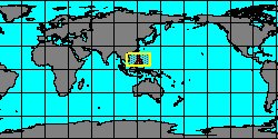
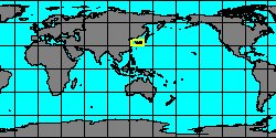
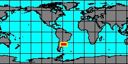
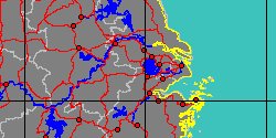
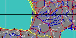
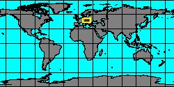
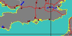
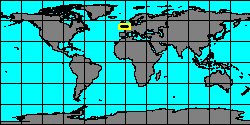
| CORBULIDAE (geographic) |
 |
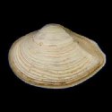
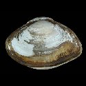
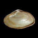
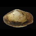
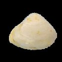
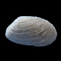
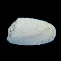
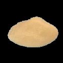
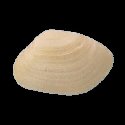
| CORBULIDAE (thumbnails) |
|
|
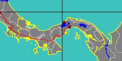
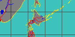
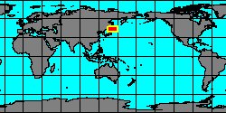
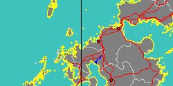
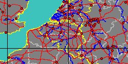
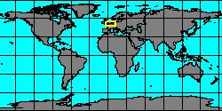
| CORBULIDAE (thumb+maps) |
|
|
| CORBULIDAE (names only) |
|
|
| CORBULIDAE (no synonyms) |
|
|
| CORBULIDAE (no variety) |
|
|
Class: BIVALVIA
--- Taxon Tree: HETERODONTA [Subclass] - EUHETERODONTA [Infraclass] - IMPARIDENTIA [Superorder] - MYIDA [Order] - MYOIDEA [Superfamily]
|
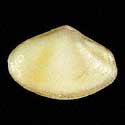
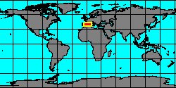
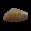
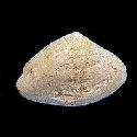
------ Family: CORBULIDAE Lamarck, 1818 (Sea)
DB counters: Genus=40, Subgenus=5, Species=364, Subspecies=22 ( 150 Species and 15 Subspecies have images) DB counters include Fossil taxa: Species=271, Subspecies=8 |

|
| ||||||||||||||||||||||||||||||||||||||||||||||||||||||||||||||||||||||||||||||||||||||||||||||||||||||||||||||||||||||||||||||||||||||||||||||||||||||||||||||||||||||||||||||||||||||||||||||||||||||||||||||||||||||||||||||||||||||||||||||||||||||||||||||||||||||||||||