SubFamily: CYSTISCINAE - Genus: Crithe A. Gould, 1860 (syn: Microvulina - DB: 11 SP, 9 IMG)
|
|
|
|

|
|
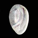
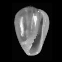
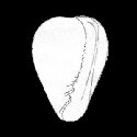
2030450055
Crithe
atomaria
A.A. Gould, 1860
|
|
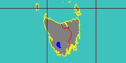
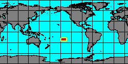
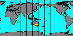
No Georeferenced data available
|
|
|
|
|
|

|
|
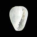
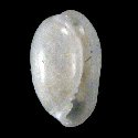
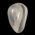
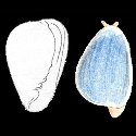
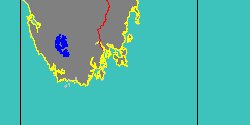
6494000078
Crithe
barreti
(FOSSIL)
L.J. Morlet, 1888 †
France, Paris Basin
|
|

|
|
|
|
|
|
|
|
|
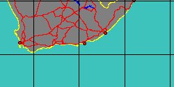
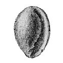
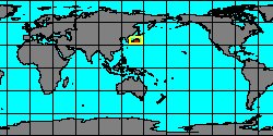
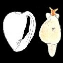
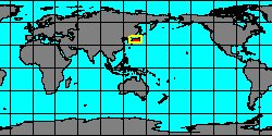
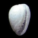
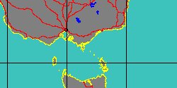
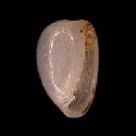
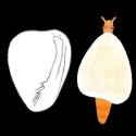
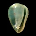
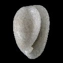
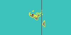
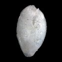
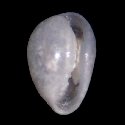
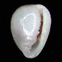
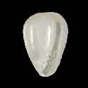
2030150000
Crithe
cossinea
T. Cossignani, 1997
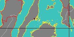
Philippines, Mactan Island
2,2 mm
|
|
|
|
|
|
|
|
|
|
|
|
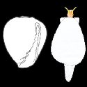
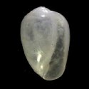
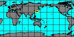
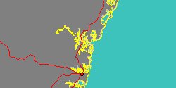
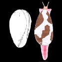
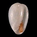
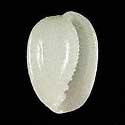
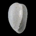
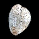
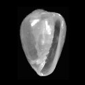
2030150005
Crithe
huna
(E.A. Kay, 1979)
Philippines, Mactan Island
2 mm
|
|
|
|
|
|
|
|
|
|
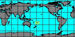
2030452167
Crithe
marianoi
T. Cossignani, 2001
|
|
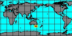
No Georeferenced data available
|
|
|
|
|
SubFamily: CYSTISCINAE - Genus: Cystiscus W. Stimpson, 1865 (syn: Cysticus, Euliginella, Furcilla, Microcassis - DB: 68 SP, 53 IMG)
|
|
|
|
|
|
|
|
|
|
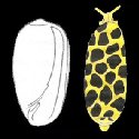
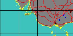
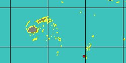
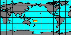
2030452332
Cystiscus
beqae
A. Wakefield
& T. McCleery, 2006
Fiji Islands
1,46 mm
|
|
|
|
|
|
|
|
|
|
|
|
|
|
|
|
|
|
|
|
|
|
|
|
« Previous 1
2
3
4
5
6
7
8
9
10
11
12
13
Next
»
|
|
|