|
|
|
|

|
|
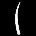
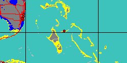
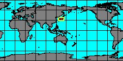
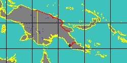
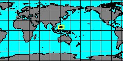
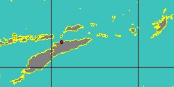
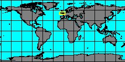
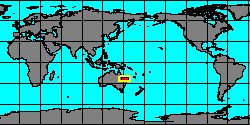
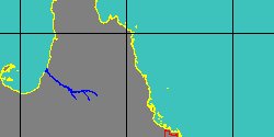
8000000026
Dentalium
hillae
K.L. Lamprell
& J.M. Healy, 1998
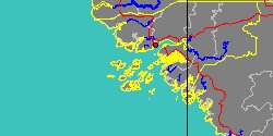
Australia, Scott Reef
|
|
|
|
|
|
|
|
|
|

|
|
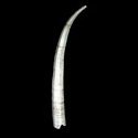
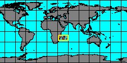
8530000051
Dentalium
ihungia
(FOSSIL)
J. Marwick, 1931 †
|
|
No Georeferenced data available
|
|
|
|
|
|
|
|
|
|
|
|
|
|
|
|
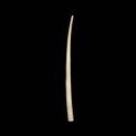
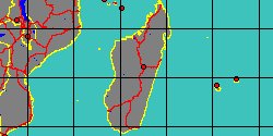
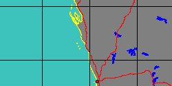
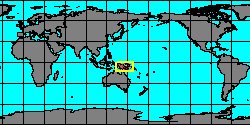
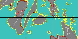
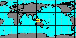
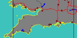
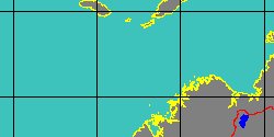
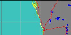
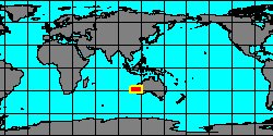
6370350543
Dentalium
jeanae
K.L. Lamprell
& J.M. Healy, 1998
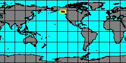
Australia, Lady Musgrave Island
|
|
|
|
|
|
|
|
|
|
|
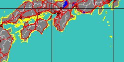
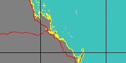
8000000028
Dentalium
jelli
K.L. Lamprell
& J.M. Healy, 1998
Australia, Cairns
|
|
|
|

|
|
|
|
|
|
|
|
|
|
|
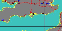
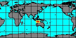
8000000031
Dentalium
kessneri
K.L. Lamprell
& J.M. Healy, 1998
West Australia, Abrolhos Island
|
|
|
|
|
|
|
|
|
|
|
|
|
|
|
|
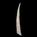
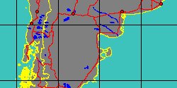
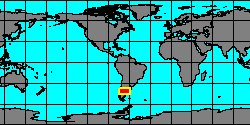
6370350528
Dentalium
lebruni
(J.F. Mabille
& A. de Rochebrune, 1889)
Argentina, Santa Cruz
|
|
|
|
|
|
|
|
|
|
|