SubFamily: ATYINAE - Genus: Atys P.D. Montfort, 1810 (syn: Naucum, Roxaniella - DB: 56 SP, 23 IMG)
|
|
|

|
|
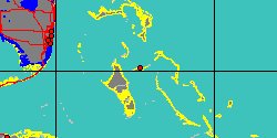
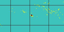
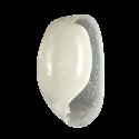
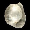
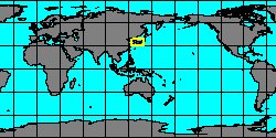
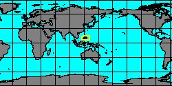
5408000013
Atys
pittmani
C.C. Too, C.H. Carlson, P.J. Hoff
& M.A.E. Malaquias, 2014
|
|
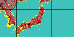
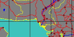
No Georeferenced data available
|
|
|
|
|
|

|
|
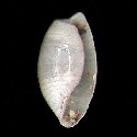
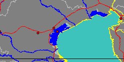
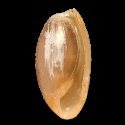
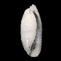
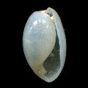
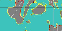
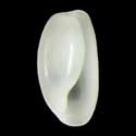
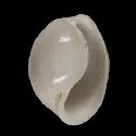
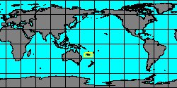
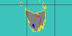
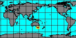
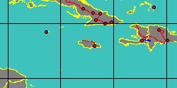
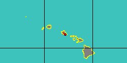
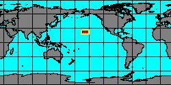
5386000011
Atys
pransa
C. Hedley, 1904
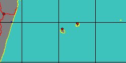
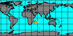
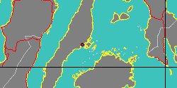
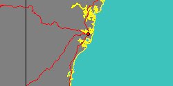
Australia, Wollongong
|
|
|
|
|
|
|
|
|
|
|
|
|
|

|
|
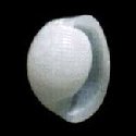
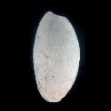
5408000027
Atys
sulcata
(FOSSIL)
†
|
|
No Georeferenced data available
|
|
|
|
|
|

|
|
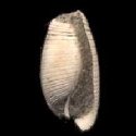
5386000005
Atys
triticus
J.B.P.A. Lamarck
|
|
No Georeferenced data available
|
|
|
|
|
|
|
|
5408000014
Atys
ukulele
C.C. Too, C.H. Carlson
& al., 2014
|
|
No Georeferenced data available
|
|
|
|
|
|
|
|
|
5386000003
Atys
xarifae
Er. Marcus, 1959
|
|
No Georeferenced data available
|
|
|
SubFamily: ATYINAE - Genus: Diniatys T. Iredale, 1936 (syn: Dinia - DB: 4 SP, 4 IMG)
|
|
|
|
SubFamily: ATYINAE - Genus: Micratys T. Habe, 1952 (DB: 4 SP, 2 IMG)
|
|
|
|
SubFamily: ATYINAE - Genus: Mimatys T. Habe, 1952 (DB: 1 SP, 1 IMG)
|
SubFamily: ATYINAE - Genus: Nipponatys J.T. Kuroda & T. Habe, 1952 (DB: 4 SP, 1 IMG)
|
|
|
|
SubFamily: HAMINOEINAE - Genus: Aliculastrum H.A. Pilsbry, 1896 (syn: Alicula, Spissitydeus - DB: 11 SP, 4 IMG)
|
«
Previous
1
2
3
4
5
6
Next
»
|
|
| | | | |