|
 |
 |
 |
| FAMILY list (thumbnails) |
 |
 |
 |
 |
| FAMILY list (names only) |
 |
 |
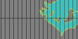
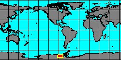
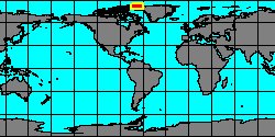
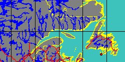
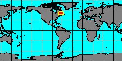
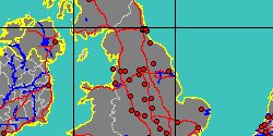
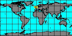
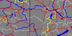
| METOPTOMATIDAE (geographic) |
 |
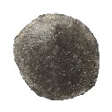
| METOPTOMATIDAE (thumbnails) |
|
|
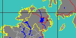
| METOPTOMATIDAE (thumb+maps) |
|
|
| METOPTOMATIDAE (names only) |
|
|
| METOPTOMATIDAE (no synonyms) |
|
|
| METOPTOMATIDAE (no variety) |
|
|
Class: MONOPLACOPHORA
--- Taxon Tree: ARCHINACELLIDA [Order] - ARCHINACELLOIDEA [Superfamily]
|
------ Family: METOPTOMATIDAE Wenz, 1938 † (Sea) (FOSSIL)
DB counters: Genus=4, Subgenus=0, Species=26, Subspecies=0 ( 1 Species and 0 Subspecies have images) |
| |||||||||||||||||||||||||||||||||||||||||||||||||||||||||||||||||||||||||||||||||||||||||||||||||||||||||||||||||||||||||||||||||||||||||||||||||||||||||||||||||||||||||||||||||||||||||||||||||||||||||||||||||||||||||||||||||||||||||||||||