SubFamily: ERGALATAXINAE - Genus: Morula H.C.F. Schumacher, 1817 (syn: Morurella - DB: 38 SP, 34 IMG)
|
|
|
|
|
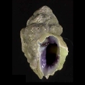
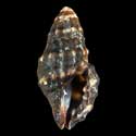
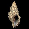
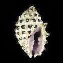
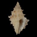
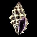
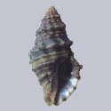
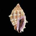
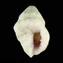
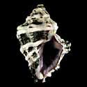
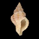
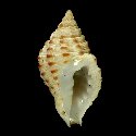
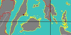
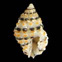
1906650040
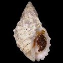
Morula
iostoma
L.A. Reeve, 1844
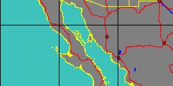
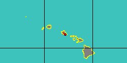
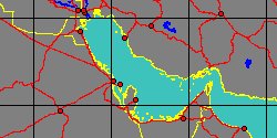
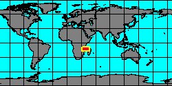
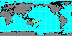
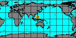
Philippines, Calituban Island
22,7 mm
|
|
|
|

|
|
|
|
|
|
|
|
|
|
|
|
|
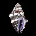
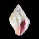
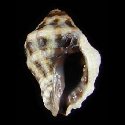
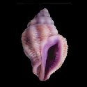
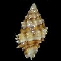
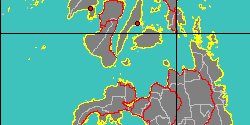
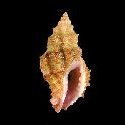
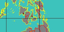
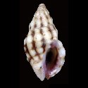
1908453100
Morula
parva
(L.A. Reeve, 1846)
Philippines, Cebu
7,2 mm
|
|
|
|

|
|
|
|
|
|
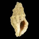
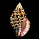
1908457540
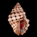
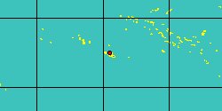
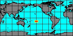
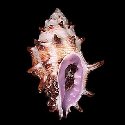
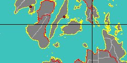
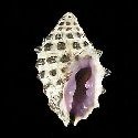
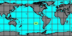
Morula
peasei
R. Houart, 2002
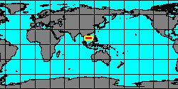
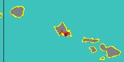
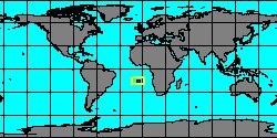
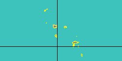
French Polynesia, Tahiti
10 mm
|
|
|
|
|
|
|
|
|
|
|
|
|
|
|
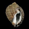
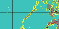
1906650080
Morula
spinosa
(H. Adams & A. Adams,
1853)
Philippines, Bohol Island
22 mm
|
|
|
|

|
|
|
|
|
|
|
|
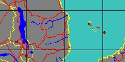
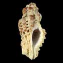
1906650090
Morula
uva
(P.F. Röding, 1798)
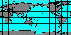
Easter Island
20 mm
|
|

|
|
|
|
|
|
|
|
|
|
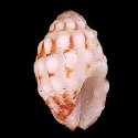
1910701566
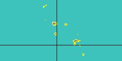
Morula
zebrina
R. Houart, 2004
French Polynesia, Topatii
10,3 mm
|
|
|
|
|
SubFamily: ERGALATAXINAE - Subgenus: Morula (Habromorula) R. Houart, 1995 (syn: Hambromorula - DB: 2 SP, 1 IMG)
|
|
|

|
|
8016001827
Habromorula
combauti
(FOSSIL)
Goret & Pons, 2013 †
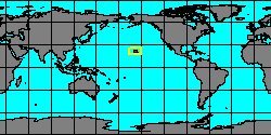
�France
|
|
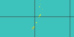
No Georeferenced data available
|
|
|
|
SubFamily: ERGALATAXINAE - Subgenus: Morula (Oppomorus) T. Iredale, 1937 (DB: 3 SP, 3 IMG)
|
|
|
SubFamily: ERGALATAXINAE - Genus: Muricodrupa T. Iredale, 1918 (DB: 3 SP, 4 IMG)
|
| | | |