|
|

|
|
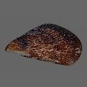
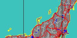
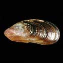
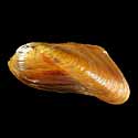
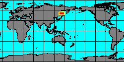
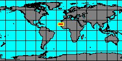
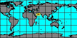
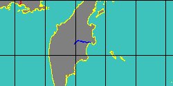
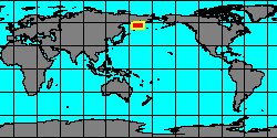
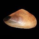
7042000007
Arvella
manshurica
P. Bartsch in O.A. Scarlato, 1960
|
|
No Georeferenced data available
|
|
|
|
|
|
|
|
|

|
|
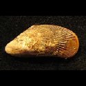
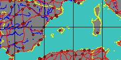
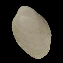
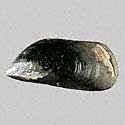
8036000285
Lioberus
marensis
(FOSSIL)
Weisbord 1964 †
|
|
No Georeferenced data available
|
|
|
|
|
|
|
|
|
|
|
|
|
|
|
|
|
|
|
|
|
|
|
|
|
|
|
|
|
|
|
|
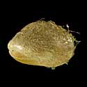
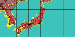
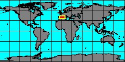
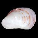
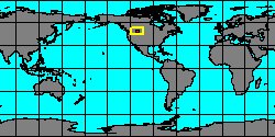
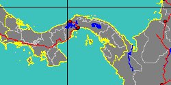
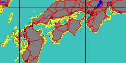
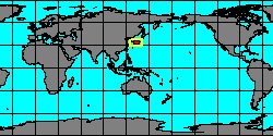
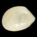
7042000079
Dacrydium
minimum
T.A. Okutani & Izumidate,
1992
Philippines, Malapascua Island
2,9 mm
|
|
|
|
|
|
|
|
|
|
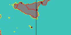
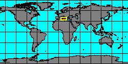
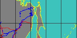
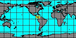
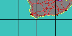
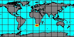
7530000219
Modiolus
minimus
(FOSSIL)
Sowerby, 1818 †
UK, England, Gloucestershire
|
|
|
|
|
|
|
|
|
|
|
7196000029
Crenella
minuta
K.H.J. Thiele
& S.G.A. Jaeckel, 1931
|
|
No Georeferenced data available
|
|
|
|
|
|
|
|
|
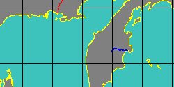
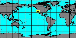
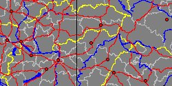
8036000230
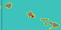
Mytilus
miocenum
(FOSSIL)
L. Krishtofovich, 1964 †
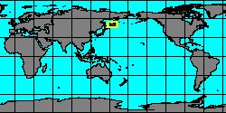
Kurile Islands, Paramushir island
|
|
|
|
|
|