SubFamily: ILLICINAE - Genus: Illex J.J.S. Steenstrup, 1880 (DB: 4 SP, 4 IMG)
|
|
|
|
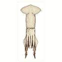
SubFamily: ILLICINAE - Genus: Todaropsis Girard, 1890 (DB: 1 SP, 1 IMG)
|
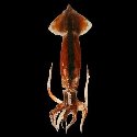
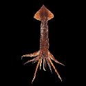
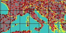
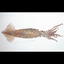
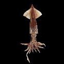
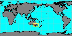
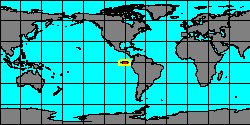
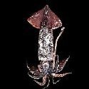
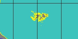
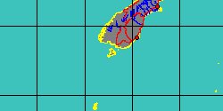
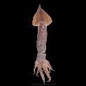
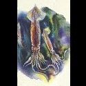
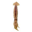
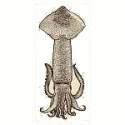
SubFamily: OMMASTREPHINAE - Genus: Dosidicus J.J.S. Steenstrup, 1857 (DB: 1 SP, 1 IMG)
|
|
|
|
|
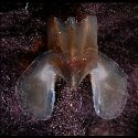
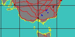
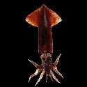
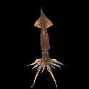
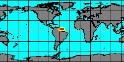
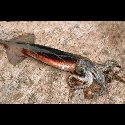
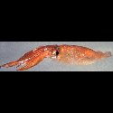
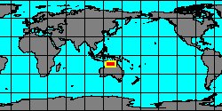
4870350000
Dosidicus
gigas
(A.V.M.D. D'Orbigny,
1835)
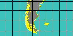
Chile
1700 mm
|
|
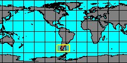
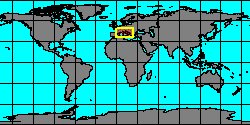
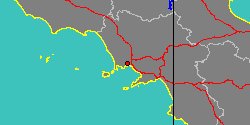
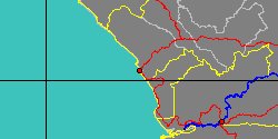
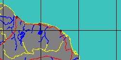
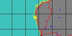
No Georeferenced data available
|
|
|
SubFamily: OMMASTREPHINAE - Genus: Eucleoteuthis S.S. Berry, 1916 (DB: 1 SP, 1 IMG)
|
SubFamily: OMMASTREPHINAE - Genus: Hyaloteuthis J.E. Gray, 1849 (DB: 1 SP, 1 IMG)
|
SubFamily: OMMASTREPHINAE - Genus: Ommastrephes D'Orbigny, 1834 (syn: Cycria, Lolimnites - DB: 2 SP, 1 IMG)
|
|
SubFamily: OMMASTREPHINAE - Genus: Sthenoteuthis A.E. Verrill, 1880 (syn: Symplectoteuthis - DB: 2 SP, 1 IMG)
|
|
SubFamily: ORNITHOTEUTHINAE - Genus: Ornithoteuthis Y.K. Okada, 1927 (DB: 2 SP, 1 IMG)
|
|
SubFamily: TODARODINAE - Genus: Martialia A. de Rochebrune & J.F. Mabille, 1889 (DB: 1 SP, 1 IMG)
|
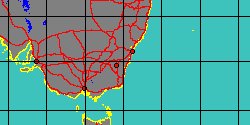
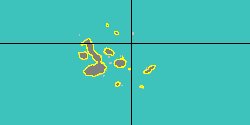
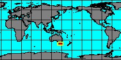
SubFamily: TODARODINAE - Genus: Nototodarus G.J. Pfeffer, 1912 (DB: 3 SP, 2 IMG)
|
|
|
SubFamily: TODARODINAE - Genus: Todarodes Steenstrup, 1880 (syn: Sagittatus - DB: 4 SP, 4 IMG)
|
|
|
| | | | | | | | | |