|
|
|

|
|
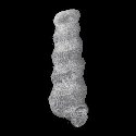
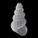
2170050016
Graphis
ambigua
(N.E. Weisbord, 1962)
|
|
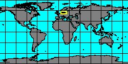
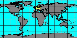
No Georeferenced data available
|
|
|
|
|
|
|

|
|
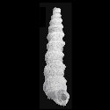
5366000160
Wonwalica
bandeli
(FOSSIL)
Grundel, 2007 †
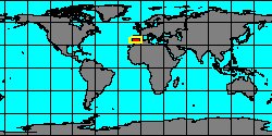
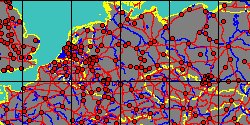
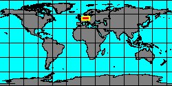
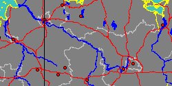
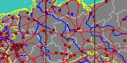
Germany, Sachsen-Anhalt, Stendal
|
|
|
|
|
|
|
|
|
|
|
|
|
|
|
|
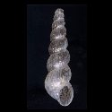
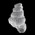
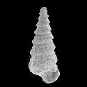
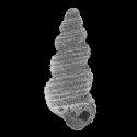
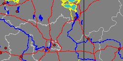
5366000174
Schartia
carinata
(FOSSIL)
A. Nützel & A. Kaim,
2014 †
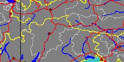
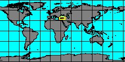
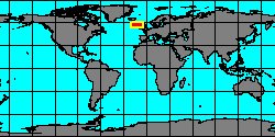
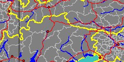
Italy, Veneto, Belluno
|
|
|
|
|
|
|
|
|
|
|
|
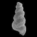
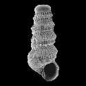
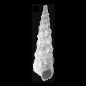
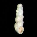
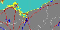
5366000154
Conusella
conica
(FOSSIL)
Grundel, 1999 †
Germany, Mecklenburg-Vorpommern,
Vorpommern-RCLgen
|
|
|
|

|
|
|
|
|
|
5366000155
Conusella
convexa
(FOSSIL)
Schulbert & A. Nützel,
2013 †
|
|
No Georeferenced data available
|
|
|
|
|
|
|
|
|
|
|
2170050017
Graphis
eikenboomi
J. van der Linden
& R.G. Moolenbeek, 2004
|
|
No Georeferenced data available
|
|
|
|
|
|
|
|
|
6628000008
Graphis
eocenica
(FOSSIL)
M.E.A. de Boury, 1887 †
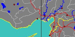
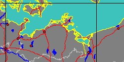
France, Paris Basin
|
|

|
|
|
|
|
|
|
|
6628000009
Graphis
eugenii
(FOSSIL)
(G.P. Deshayes, 1861 †)
France, Paris Basin
|
|
|
|
|
|
|
|
|
|
6628000014
Itiscala
exilis
(FOSSIL)
P.A. Maxwell, 1992 †
|
|
No Georeferenced data available
|
|
|
|
|
|
|
|
|
5366000165
Graphis
herrigi
(FOSSIL)
Grundel, 1999 †
Germany, Sachsen-Anhalt
|
|
|
|

|
|
|
|
|
|
5350000043
Graphis
infans
(C.F. Laseron, 1951)
|
|
No Georeferenced data available
|
|
|
|
|
|
|
|
|
|
|
|
|
|
|
2170050018
Graphis
lightbourni
J. van der Linden
& R.G. Moolenbeek, 2004
|
|
No Georeferenced data available
|
|
|
|
|