SubFamily: PISANIINAE - Subgenus: Cantharus (Zeapollia) H.J. Finlay, 1927 † (DB: 2 SP, 1 IMG)
|
SubFamily: PISANIINAE - Genus: Chlanidota E.C. Von Martens, 1878 (syn: Pfefferia - DB: 10 SP, 7 IMG)
|
|
|
|
|
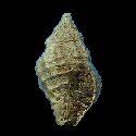
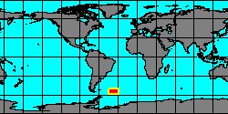
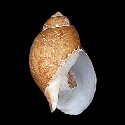
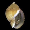
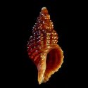
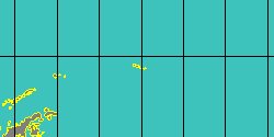
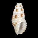
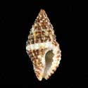
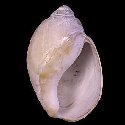
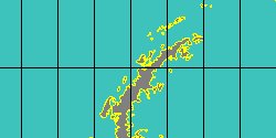
1960700637
Chlanidota
anomala
Y.I. Kantor
& M.G. Harasewych, 2008
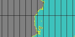
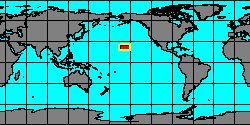
South Shetland Islands
23 mm
|
|
|
|
|
|
|
|
|
|
|
|
|
|
SubFamily: PISANIINAE - Subgenus: Chlanidota (Meteuthria) K.H.J. Thiele, 1912 (DB: 7 SP, 2 IMG)
|
|
|
|
|
|
|
SubFamily: PISANIINAE - Subgenus: Chlanidota (Proneptunea) K.H.J. Thiele, 1912 (DB: 5 SP, 3 IMG)
|
|
|
|
|
|
|
|
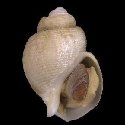
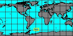
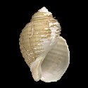
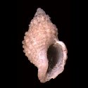
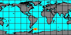
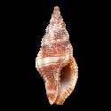
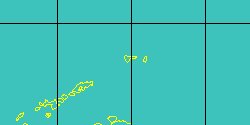
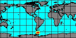
1960700582
Proneptunea
rufa
P.G. Oliver
& G.B. Picken, 1984
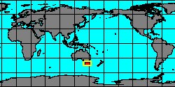
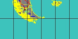
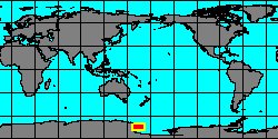
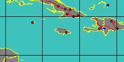
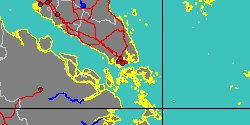
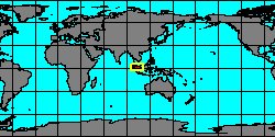
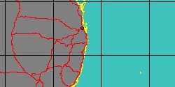
Antarctic Ocean, 64.78° S,
64.06° W
8 mm
|
|
|
|
|
|
SubFamily: PISANIINAE - Genus: Engina J.E. Gray, 1839 (syn: Enzina, Enzinopsis - DB: 81 SP, 59 IMG)
|
|
|
|
|
|
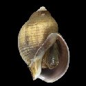
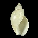
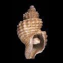
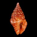
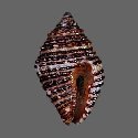
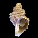
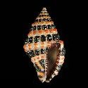
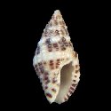
1927700000
Engina
alveolata
(L.C. Kiener, 1836)
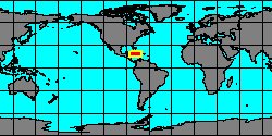
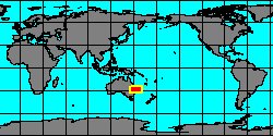
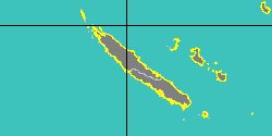
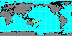
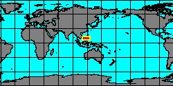
Philippines, Palawan Island
24 mm
|
|
|
|
|
|
|
|
|
|
|
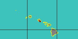
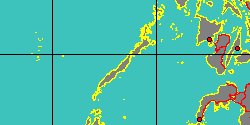
5971104446
Engina
androyensis
K. Fraussen, E. Monnier
& J. Rosado, 2015
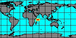
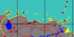
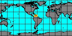
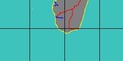
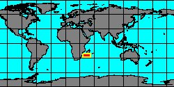
Madagascar, Lavanono
8,3 mm
|
|
|
|
|
|
|
|

|
|
8038000109
Engina
annae
G.T. Watters
& K. Fraussen, 2015
|
|
No Georeferenced data available
|
|
|
|
|
|
|
|
|
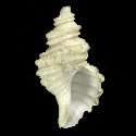
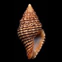
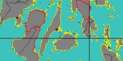
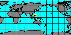
1927300005
Engina
astricta
(L.A. Reeve, 1846)
Philippines, Olango Island
15,2 mm
|
|
|
|
|
|
|
|
|
|
|
«
Previous
1
2
3
4
5
6
7
8
9
10
11
12
13
14
15
16
17
18
19
20
21
22
23
24
25
26
27
28
29
30
31
32
33
34
35
36
37
38
39
40
41
42
43
44
45
46
47
48
49
50
51
52
53
Next
»
|
|
| | | |