|
 |
 |
 |
| FAMILY list (thumbnails) |
 |
 |
 |
 |
| FAMILY list (names only) |
 |
 |
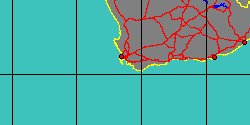
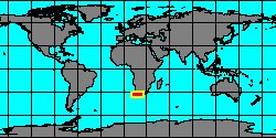
| BUCCINIDAE (geographic) |
 |
| BUCCINIDAE (thumbnails) |
|
|
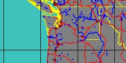
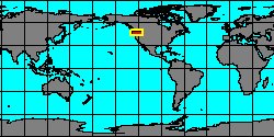
| BUCCINIDAE (thumb+maps) |
|
|
| BUCCINIDAE (names only) |
|
|
| BUCCINIDAE (no synonyms) |
|
|
| BUCCINIDAE (no variety) |
|
|
Class: GASTROPODA
--- Taxon Tree: CAENOGASTROPODA [Subclass] - NEOGASTROPODA [Order] - BUCCINOIDEA [Superfamily]
|
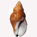
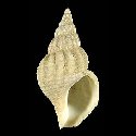
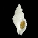
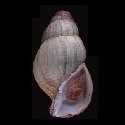
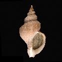
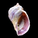
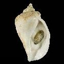
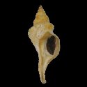
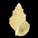
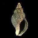
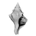
------ Family: BUCCINIDAE Rafinesque, 1815 (Sea)
DB counters: Genus=180, Subgenus=29, Species=1731, Subspecies=205 ( 1074 Species and 114 Subspecies have images) DB counters include Fossil taxa: Species=520, Subspecies=19 |

|
| ||||||||
| ||||||||
| ||||||||
| ||||||||
| ||||||||
| ||||||||
| ||||||||
| ||||||||
| ||||||||
| ||||||||
| ||||||||
| ||||||||
| ||||||||
| ||||||||
| ||||||||
| ||||||||
| ||||||||
| ||||||||
| ||||||||
| ||||||||
| ||||||||
| ||||||||
| ||||||||
| ||||||||
| ||||||||
| ||||||||
| ||||||||
| ||||||||
| ||||||||
| ||||||||
| ||||||||
| ||||||||
| ||||||||
| ||||||||
|