|
|
|
|
|
|
|

|
|
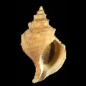
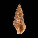
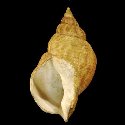
5290000011
Metula
tumida
X.T. Ma & S.P. Zhang,
2000
|
|
No Georeferenced data available
|
|
|
|
|
|
|
|
|
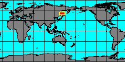
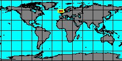
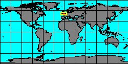
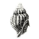
1927858000
Buccinum
tunicatum
A.N. Golikov
& V.V. Gulbin, 1977
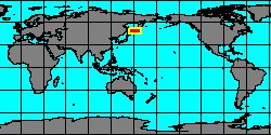
Russia
|
|
No Georeferenced data available
|
|
|
|
|
|
|
|
|
|
|
|
|
|
|
|
|
|
|
8038000200
Cominella
tuturewa
(FOSSIL)
(C.A. Fleming, 1943 †)
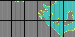
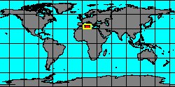
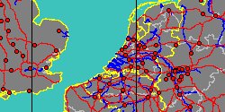
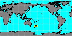
New Zealand, Manawatu-Wanganui
|
|
|
|
|
|
|
|
|

|
|
5971105561
Afer
uhli
(FOSSIL)
F. Traub, 1979 †
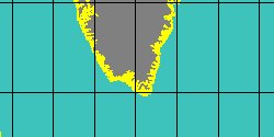
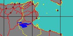
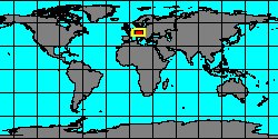
Austria
|
|
|
|
|
|
|
|
|
|
8038000209
Nassicola
ultima
(FOSSIL)
A.G. Beu, 1973 †
|
|
No Georeferenced data available
|
|
|
|
|
|
|
|
|
|
|
|
|
|
|
|
|
|
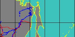
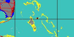
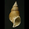
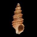
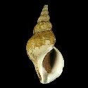
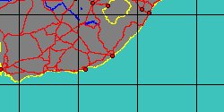
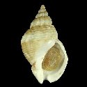
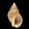
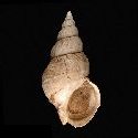
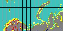
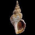
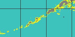
1927855450
Beringius
undatus
W.H. Dall, 1919
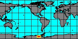
Aleutian Islands, Unalaska Island
101,5 mm
|
|
|
|
|
|
|
|
|
|
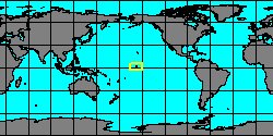
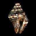
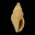
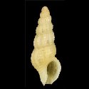
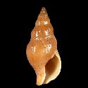
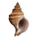
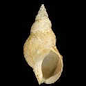
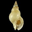
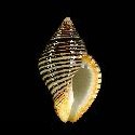
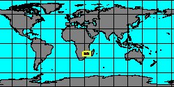
1927750030
Pollia
undosa
(C. Linnaeus, 1758)
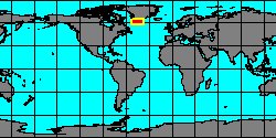
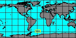
Mozambique, Bazaruto Island
30 mm
|
|
|
|
|
|