SubFamily: CALLIOSTOMATINAE - Subgenus: Maurea (Alertalex) Dell, 1956 (DB: 1 SP, 1 IMG)
|
SubFamily: CALLIOSTOMATINAE - Genus: Metaconulus Cossmann, 1918 † (DB: 4 SP, 2 IMG)
|
|
|

|
|
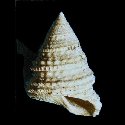
7410000078
Metaconulus
brasili
(FOSSIL)
(A.E.M. Cossmann, 1902 †)
|
|
No Georeferenced data available
|
|
|
|
|
|
|
|
|
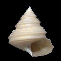
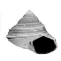
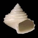
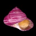
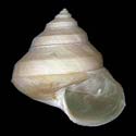
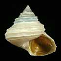
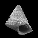
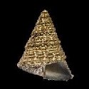
7384000041
Metaconulus
heres
(FOSSIL)
(G.P. Deshayes, 1863 †)
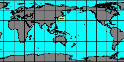
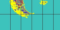
France, Paris Basin
13 mm
|
|

|
|
|
|
SubFamily: CALLIOSTOMATINAE - Genus: Omphalotukaia Yoshida, 1948 (DB: 2 SP, 1 IMG)
|
|
SubFamily: CALLIOSTOMATINAE - Genus: Otukaia N. Ikebe, 1942 (syn: Alertalex - DB: 7 SP, 7 IMG)
|
|
|
|
|
|
|
|
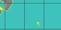
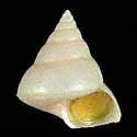
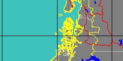
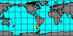
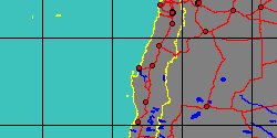
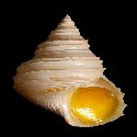
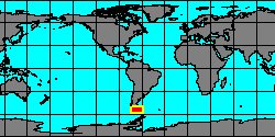
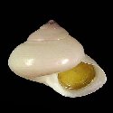
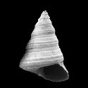
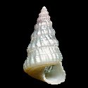
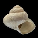
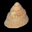
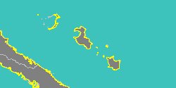
5062000300
Otukaia
delli
(J.H. McLean
& B.G. Andrade, 1982)
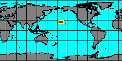
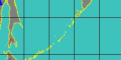
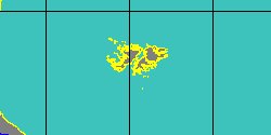
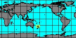
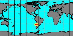
Chile, Quintero
34,3 mm
|
|
|
|
|
|
|
|
SubFamily: CALLIOSTOMATINAE - Genus: Photinastoma A. Powell, 1951 (syn: Photinostoma - DB: 1 SP, 3 IMG)
|
|
|
SubFamily: CALLIOSTOMATINAE - Genus: Photinula H. Adams & A. Adams, 1854 (syn: Kingotrochus, Photina - DB: 4 SP, 1 IMG)
|
|
|
|
SubFamily: CALLIOSTOMATINAE - Genus: Selastele B.A. Marshall, 1995 (DB: 5 SP, 4 IMG)
|
|
|
|
|
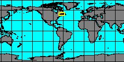
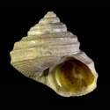
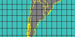
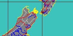
5062000013
Selastele
kopua
(B.A. Marshall, 1995)
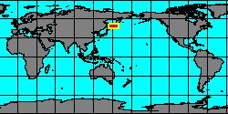
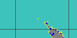
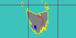
New Zealand, Cape Campbell
|
|
|
|
|
|
|
|
|
|
|
|
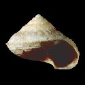
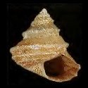
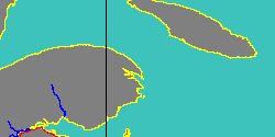
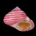
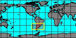
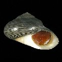
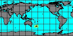
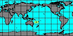
5062000006
Selastele
pictum
B.A. Marshall, 1995
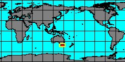
New Caledonia, Loyalty Islands
5,4 mm
|
|
|
|
|
|
SubFamily: CALLIOSTOMATINAE - Genus: Venustatrochus A. Powell, 1951 (DB: 6 SP, 1 IMG)
|
| | | | | | | |