|
 |
 |
 |
| FAMILY list (thumbnails) |
 |
 |
 |
 |
| FAMILY list (names only) |
 |
 |
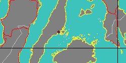
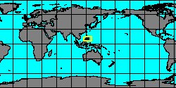
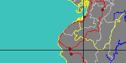
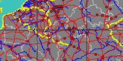
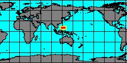
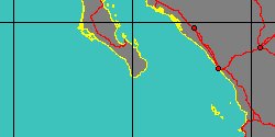
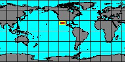
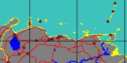
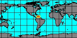
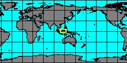
| CERITHIIDAE (geographic) |
 |
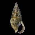
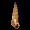
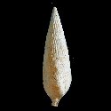
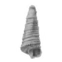
| CERITHIIDAE (thumbnails) |
|
|
| CERITHIIDAE (thumb+maps) |
|
|
| CERITHIIDAE (names only) |
|
|
| CERITHIIDAE (no synonyms) |
|
|
| CERITHIIDAE (no variety) |
|
|
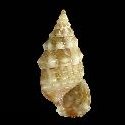
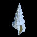
Class: GASTROPODA
--- Taxon Tree: CAENOGASTROPODA [Subclass] - CERITHIOIDEA [Superfamily]
|
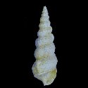
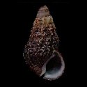
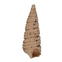
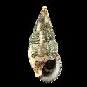
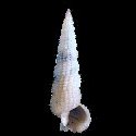
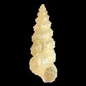
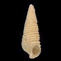
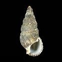
------ Family: CERITHIIDAE Férussac, 1819 (Sea)
DB counters: Genus=66, Subgenus=12, Species=699, Subspecies=122 ( 395 Species and 64 Subspecies have images) DB counters include Fossil taxa: Species=390, Subspecies=22 |

|
| ||||||||
| ||||||||
| ||||||||
| ||||||||
| ||||||||
| ||||||||
| ||||||||
| ||||||||
| ||||||||
| ||||||||
| ||||||||
| ||||||||
| ||||||||
| ||||||||
| ||||||||
| ||||||||
| ||||||||
| ||||||||
| ||||||||
| ||||||||
| ||||||||
| ||||||||
| ||||||||
| ||||||||
| ||||||||
| ||||||||
| ||||||||
| ||||||||
| ||||||||
| ||||||||
| ||||||||
| ||||||||
| ||||||||
| ||||||||
|