Genus: Marshallopsis A. Cecalupo & I. Perugia, 2012 (DB: 27 SP, 23 IMG)
|
|
|
|
|
|
|
|
|
|
|
|
|
|
|
|
|
|
|
|
Genus: Onchodia W.H. Dall, 1924 (DB: 3 SP, 1 IMG)
|
|
|
|

|
|
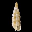
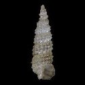
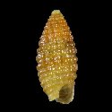
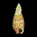
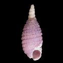
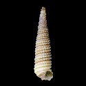
6734000207
Onchodia
cooki
Cecalupo & Perugia, 2017
|
|
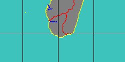
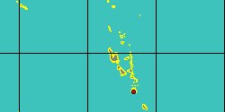
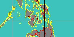
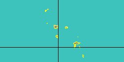
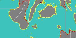
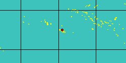
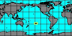
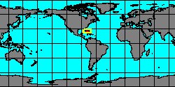
No Georeferenced data available
|
|
|
|
Genus: Ondulopsis A. Cecalupo & I. Perugia, 2012 (DB: 7 SP, 6 IMG)
|
|
|
|
|
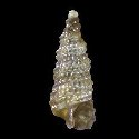
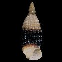
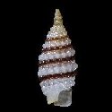
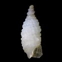
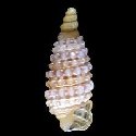
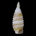
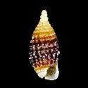
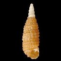
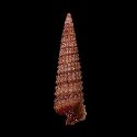
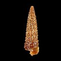
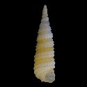
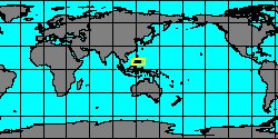
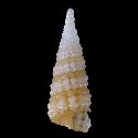
5284000122
Ondulopsis
annae
A. Cecalupo & I. Perugia,
2012
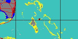
Philippines, Panglao Island
4 mm
|
|
|
|
|
|
|
|
|
|
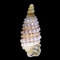
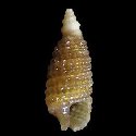
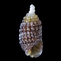
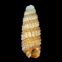
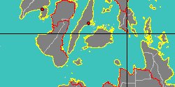
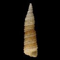
5284000123
Ondulopsis
conica
A. Cecalupo & I. Perugia,
2012
Philippines, Bohol Island
3,7 mm
|
|
|
|

|
|
|
|
|
|
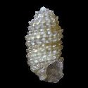
5284000124
Ondulopsis
fusca
A. Cecalupo & I. Perugia,
2012
Philippines, Panglao Island
|
|
|
|
|
|
|
|
|
|
|
|
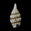
5284000127
Ondulopsis
turrita
A. Cecalupo & I. Perugia,
2012
Philippines, Panglao Island
4,15 mm
|
|
|
|
|
|
Genus: Oparopsis A. Cecalupo & I. Perugia, 2015 (syn: Australopsis - DB: 1 SP, 1 IMG)
|
| | | |