|
|
|
|
|
|
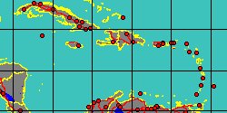
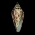
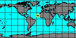
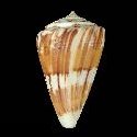
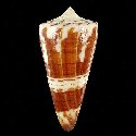
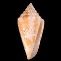
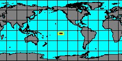
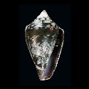
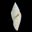
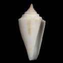
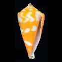
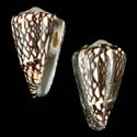
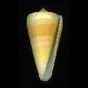
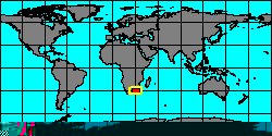
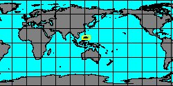
2140001855
Pionoconus
magus
(C. Linnaeus, 1758)
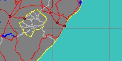
Philippines, Palawan Island
71,9 mm
|
|
|
|
|
|
|
|
|
|
|
|
|
|

|
|
7332000853
Conus
mantovani
(FOSSIL)
Seguenza, 1880 †
|
|
No Georeferenced data available
|
|
|
|
|
|
|
|
|
|
|
|
|
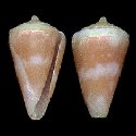
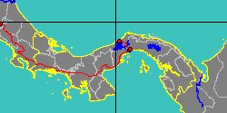
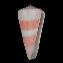
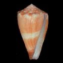
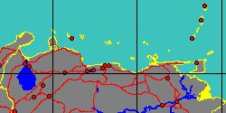
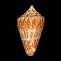
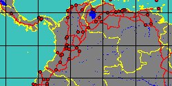
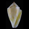
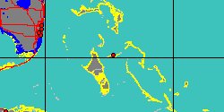
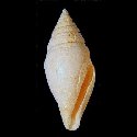
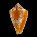
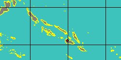
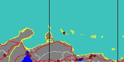
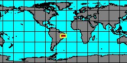
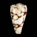
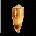
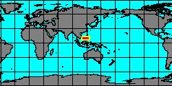
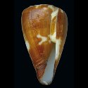
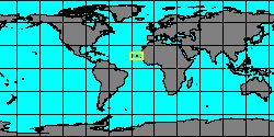
7332001088
Conus
marckeppensi
(T. Cossignani
& R. Fiadeiro, 2017)
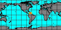
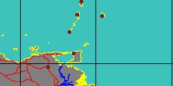
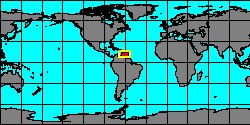
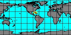
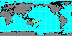
Cape Verde, Boavista Island
22,1 mm
|
|

|
|
|
|
|
|
|
|
|
|
|
|
|
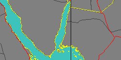
7332000865
Chelyconus
mariae
(FOSSIL)
Hoernes & Auinger, 1879 †
|
|
No Georeferenced data available
|
|
|
|
|
|
|
|
|
|
|
|
|
|
|
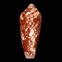
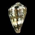
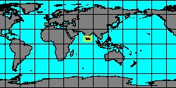
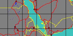
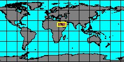
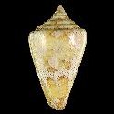
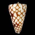
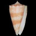
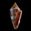
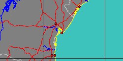
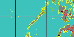
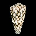
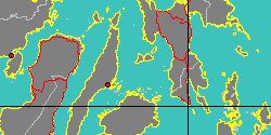
2140001945
Conus
marmoreus
C. Linnaeus, 1758
Philippines, Camotes Island
83,4 mm
|
|
|
|
|
|
|
|
|
|
|
|
|
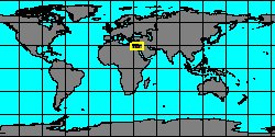
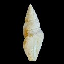
7332000838
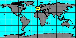
Conus
marticensis
(FOSSIL)
Matheron, 1843 †
|
|
No Georeferenced data available
|
|
|
|
|