|
|
|
|

|
|
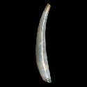
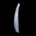
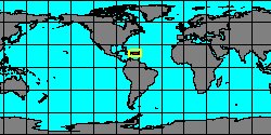
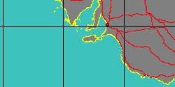
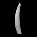
8016000011
Gadila
bordaensis
(B.C. Cotton
& F.C. Godfrey, 1940)
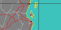
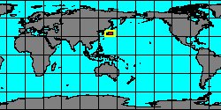
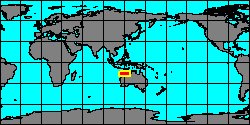
Australia, Kangaroo Island
|
|
|
|
|
|
|
|
|
|
|
|
|
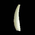
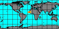
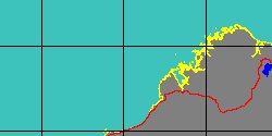
8016000023
Gadila
brycei
K.L. Lamprell
& J.M. Healy, 1998
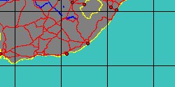
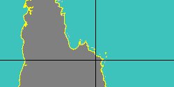
Australia, Cape Leveque
|
|
|
|
|
|
|
|
|
|
|
|
|
8016000025
Gadila
carlessi
K.L. Lamprell
& J.M. Healy, 1998
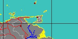
Australia, Cape Melville
|
|
|
|

|
|
|
|
|

|
|
8018000010
Cadulus
caronensis
(FOSSIL)
W.C. Mansfield, 1925 †
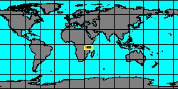
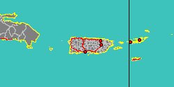
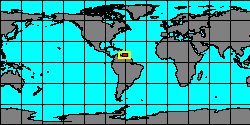
Trinidad and Tobago,
Couva-Tabaquite-Talparo
|
|
|
|
|
|
|
|
|
|
|
|
|
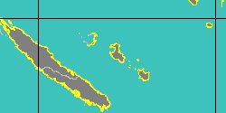
8016000059
Gadila
celtica
V. Scarabino
& F. Scarabino, 2011
BIOGAS 2 stn DS31
|
|
|
|
|
|
|
|
|
|
|
|
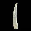
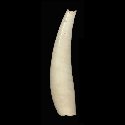
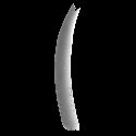
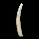
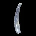
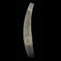
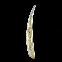
6450000040
Gadila
clavata
(A.A. Gould, 1859)
Philippines, Camotes Island
12 mm
|
|
|
|
|
|
|
|
|
|
8016000026
Gadila
cobbi
K.L. Lamprell
& J.M. Healy, 1998
Australia, Cairns
|
|
|
|
|
|
|
|
|
|
|
|
|
8018000011
Cadulus
conradi
(FOSSIL)
H.A. Pilsbry
& A. Harbison, 1933 †
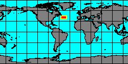
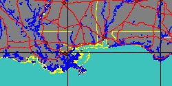
USA, Delaware
|
|
|
|
|
|
|
|
|
|
|
|
8016000060
Gadila
cretea
V. Scarabino
& F. Scarabino, 2011
RV Chain 106
|
|
|
|
|
|
|
|
|
|
|
|
|