Genus: Lupherella Imlay, 1967 † (DB: 2 SP, 0 IMG)
|
|
Genus: Monotis Bronn, 1830 † (DB: 7 SP, 3 IMG)
|
|
|
|

|
|
7660000061
Monotis
haueri
(FOSSIL)
E.A.L. Kittl, 1912 †
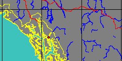
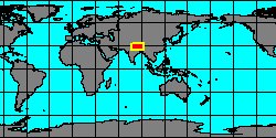
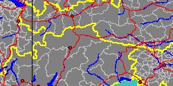
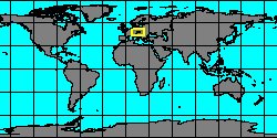
China, Xizang, Shigatse
|
|
|
|
|
|
|
|
|
|
7660000064
Monotis
pygmaea
(FOSSIL)
Münster, 1841 †
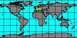
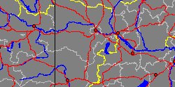
Italy, Trentino-Alto Adige,
Bolzano
|
|
|
|
|
|
|
|
|
|
7660000065
Monotis
salinaria
(FOSSIL)
H.G. Bronn, 1830 †
Austria, Niederösterreich, Baden
|
|
|
|
|
|
|
|
Subgenus: Monotis (Entomonotis) Marwick, 1935 † (DB: 3 SP, 2 IMG)
|
|
|
Subgenus: Monotis (Eomonotis) Grant-Mackie, 1978 † (DB: 13 SP, 0 IMG)
|
|
|
|
|
7660000046
Eomonotis
anjuensis
(FOSSIL)
(Bytschkov & Efimova,
1966 †)
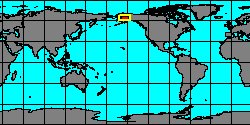
Alaska, Kuskokwim Mountains
|
|
|
|
|
|
|
|
|
|
|
|
|
7660000050
Eomonotis
jakutica
(FOSSIL)
(Teller, 1896 †)
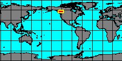
Canada, British Columbia,
Peace River
|
|

|
|
|
|
|
|
|
|
|
7660000052
Eomonotis
marwicki
(FOSSIL)
J. Grant-Mackie, 1980 †
New Zealand, Kiritehere coast
|
|
|
|
|
|
|
|
|
|
|
|
7660000055
Eomonotis
pinensis
(FOSSIL)
(Westermann, 1962 †)
Canada, British Columbia,
Peace River
|
|
|
|

|
|
|
|
|
|
|
7660000057
Eomonotis
typica
(FOSSIL)
(Kiparisova, 1936 †)
China, Heilongjiang, Jixi
|
|
|
|
|
|
|
|
|
|
7660000058
Eomonotis
wairakae
(FOSSIL)
J. Grant-Mackie, 1980 †
New Zealand, Kiritehere coast
|
|
|
|
|
Subgenus: Monotis (Inflatomonotis) Grant-Mackie, 1978 † (DB: 1 SP, 0 IMG)
|
Subgenus: Monotis (Pacimonotis) Grant-Mackie & Silberling, 1990 † (DB: 1 SP, 0 IMG)
|
Genus: Otapiria Marwick, 1935 † (DB: 8 SP, 0 IMG)
|
|
|
|
|
|
|
|
7660000071
Otapiria
masoni
(FOSSIL)
J. Marwick, 1953 †
New Zealand, Waikato, Franklin
|
|
|
|

|
|
|
|
|
|
|
7660000073
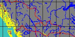
Otapiria
norica
(FOSSIL)
McRoberts, 2011 †
Canada, British Columbia,
Peace River
|
|
|
|

|
|
|
|
|
|
7660000074
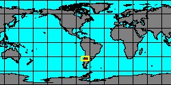
Otapiria
pacifica
(FOSSIL)
Covacevich & Escobar,
1979 †
Argentina, Alumbre Creek
|
|
|
|
|
|
|
|
|
|
7660000075
Otapiria
tailleuri
(FOSSIL)
Imlay, 1967 †
Canada, British Columbia,
Peace River
|
|
|
|

|
|
« Previous 1
2
Next
»
|
|
| | | | | |