SubFamily: TROPHONINAE - Genus: Trophon P.D. Montfort, 1810 (syn: Muricidea, Pinon, Polyplex, Stramonitrophon - DB: 64 SP, 42 IMG)
|
|
|
|
|
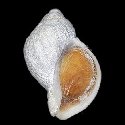
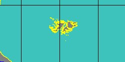
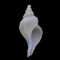
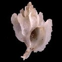
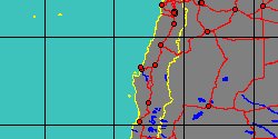
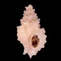
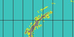
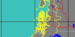
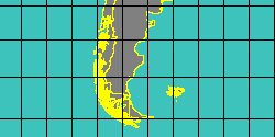
1908456050
Trophon
minutus
J.C. Melvill
& R. Standen, 1907
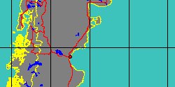
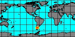
Antarctic Peninsula,
Palmer Archipelago
7 mm
|
|
|
|
|
|
|
|
|

|
|
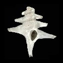
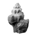
8038000330
Trophon
munitus
(FOSSIL)
J. Marwick, 1934 †
|
|
No Georeferenced data available
|
|
|
|
|
|
|
|
|
|
|
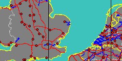
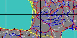
8016001673
Trophon
nysti
(FOSSIL)
(M. Rouault, 1850 †)
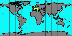
France, Aquitaine
|
|
|
|

|
|
|
|
|
|
|
8038000965
Trophon
ovallei
(FOSSIL)
(R.A. Philippi, 1887 †)
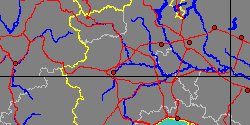
Chile, Navidad Formation
|
|
|
|
|
|
|
|
|
|
|
|
|
|
|
|
|
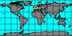
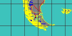
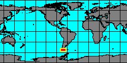
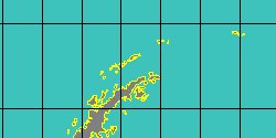
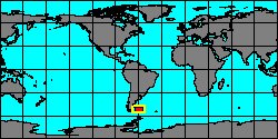
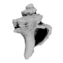
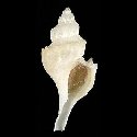
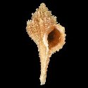
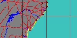
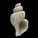
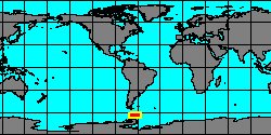
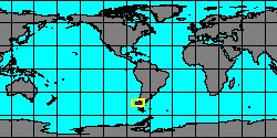
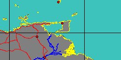
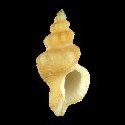
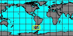
1905100150
Trophon
plicatus
(J. Lightfoot, 1786)
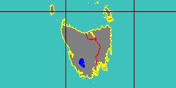
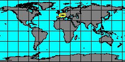
Argentina, Tierra del Fuego
61,3 mm
|
|
|
|

|
|
|
|
|
|
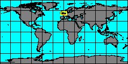
8016001675
Trophon
plini
(FOSSIL)
Raincourt, 1874 †
France, Paris Basin
|
|

|
|

|
|
|
|
|
|
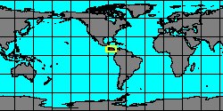
8016001263
Trophon
progne
(FOSSIL)
White, 1887 †
Trinidad and Tobago, Siparia
|
|
|
|
|
|
|
|
|
|
|
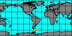
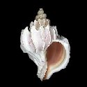
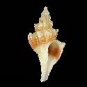
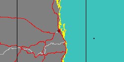
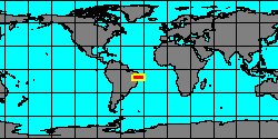
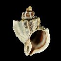
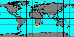
1905100155
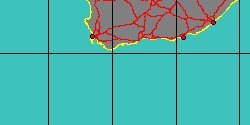
Trophon
purdyae
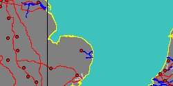
R. Houart, 1983
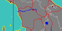
South Africa, Agulhas Bank
25,5 mm
|
|
|
|
|
|
|
|

|
|
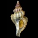
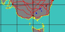
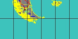
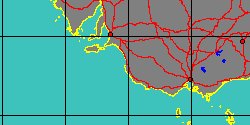
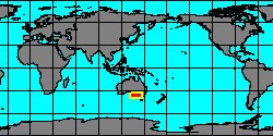
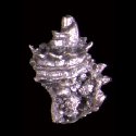
1908456130
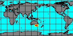
Trophon
recurvus
(F.C.L. Koch in R.A. Philippi, 1846)
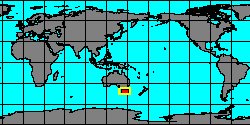
South Australia
|
|
|
|
|
|
|
|
|
|
|
|
|
|
8016001267
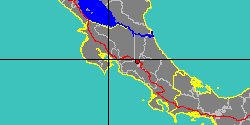
Trophon
torquatus
(FOSSIL)
R. Tate, 1888 †
|
|
No Georeferenced data available
|
|
|
|
|
|
|
|
1908456240
Trophon
triacanthus
Z.J.A. De Castellanos, E. Rolán
& S. Bartolotta, 1987
South Argentina
|
|
|
|
|
|
|
SubFamily: TROPHONINAE - Genus: Xenotrophon T. Iredale, 1929 (DB: 3 SP, 1 IMG)
|
|
|
SubFamily: TYPHINAE - Genus: Brasityphis R.S. Absalão & F.N. Santos, 2003 (DB: 1 SP, 1 IMG)
|
| | |