|
 |
 |
 |
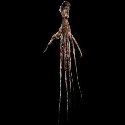
| FAMILY list (thumbnails) |
 |
 |
 |
 |
| FAMILY list (names only) |
 |
 |
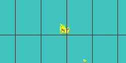
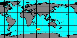
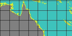
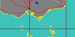
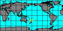
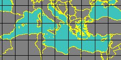
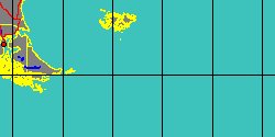
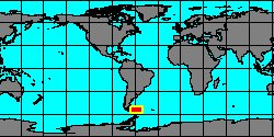
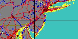
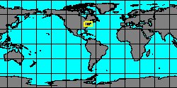
| OCTOPODIDAE (geographic) |
 |
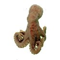
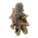
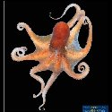
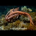
| OCTOPODIDAE (thumbnails) |
|
|
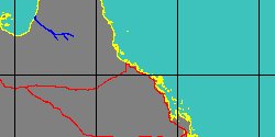
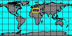
| OCTOPODIDAE (thumb+maps) |
|
|
| OCTOPODIDAE (names only) |
|
|
| OCTOPODIDAE (no synonyms) |
|
|
| OCTOPODIDAE (no variety) |
|
|
Class: CEPHALOPODA
--- Taxon Tree: COLEOIDEA [Subclass] - OCTOPODIFORMES [Superorder] - OCTOPODA [Order] - INCIRRATA [Suborder] - OCTOPODOIDEA [Superfamily]
|
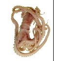
------ Family: OCTOPODIDAE d'Orbigny, 1839 (Sea)
DB counters: Genus=41, Subgenus=0, Species=268, Subspecies=5 ( 48 Species and 1 Subspecies have images) DB counters include Fossil taxa: Species=1, Subspecies=0 |
| |||||||||||||||||||||||||||||||||||||||||||||||||||||||||||||||||||||||||||||||||||||||||||||||||||||||||||||||||||||||||||||||||||||||||||||||||||||||||||||||||||||||||||||||||||||||||||||||||||||||||||||||||||||||||||||||||||||||||||||||||||||||||||||||||||||||||||||||||||||||||||||||
| |||||||||||||||||||||||||||||||||||||||||||||||||||||||||||||||||||||||||||||||||||||||||||||||||||||||||||||||||||||||||||||||||||||||||||||||||||||||||||||||||||||||||||||||||||||||||||||||||||||||||||||||||||||||||||||||||||||||||||||||||||||||||||||||||||||||||||||||||||||||||||||||
| |||||||||||||||||||||||||||||||||||||||||||||||||||||||||||||||||||||||||||||||||||||||||||||||||||||||||||||||||||||||||||||||||||||||||||||||||||||||||||||||||||||||||||||||||||||||||||||||||||||||||||||||||||||||||||||||||||||||||||||||||||||||||||||||||||||||||||||||||||||||||||||||
| |||||||||||||||||||||||||||||||||||||||||||||||||||||||||||||||||||||||||||||||||||||||||||||||||||||||||||||||||||||||||||||||||||||||||||||||||||||||||||||||||||||||||||||||||||||||||||||||||||||||||||||||||||||||||||||||||||||||||||||||||||||||||||||||||||||||||||||||||||||||||||||||
| |||||||||||||||||||||||||||||||||||||||||||||||||||||||||||||||||||||||||||||||||||||||||||||||||||||||||||||||||||||||||||||||||||||||||||||||||||||||||||||||||||||||||||||||||||||||||||||||||||||||||||||||||||||||||||||||||||||||||||||||||||||||||||||||||||||||||||||||||||||||||||||||