|
 |
 |
 |
| FAMILY list (thumbnails) |
 |
 |
 |
 |
| FAMILY list (names only) |
 |
 |
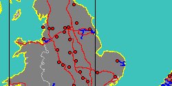
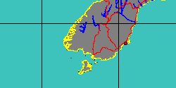
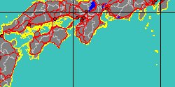
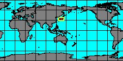
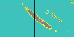
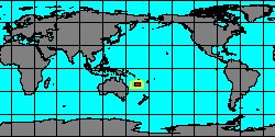
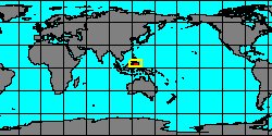
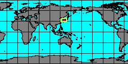
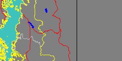
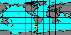
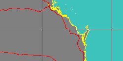
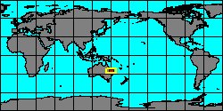
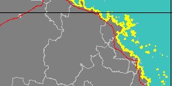
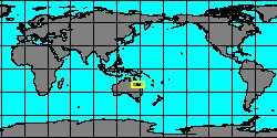
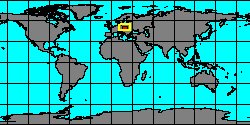
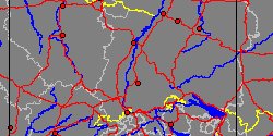
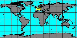
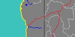
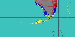
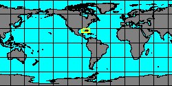
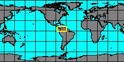
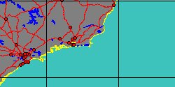
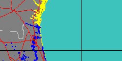
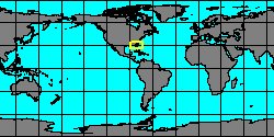
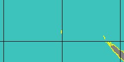
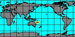
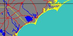
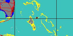
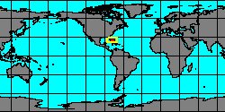
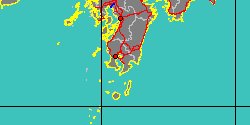
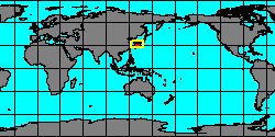
| PLEUROTOMARIIDAE (geographic) |
 |
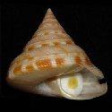
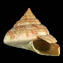
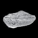
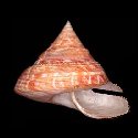
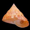
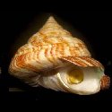
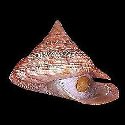
| PLEUROTOMARIIDAE (thumbnails) |
|
|
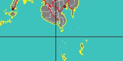
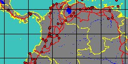
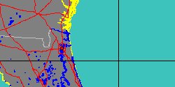
| PLEUROTOMARIIDAE (thumb+maps) |
|
|
| PLEUROTOMARIIDAE (names only) |
|
|
| PLEUROTOMARIIDAE (no synonyms) |
|
|
| PLEUROTOMARIIDAE (no variety) |
|
|
Class: GASTROPODA
--- Taxon Tree: VETIGASTROPODA [Subclass] - PLEUROTOMARIOIDEA [Superfamily]
|
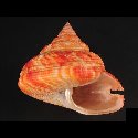
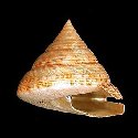
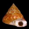
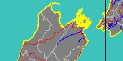
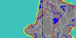
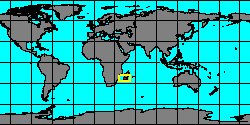
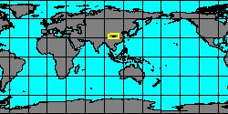
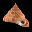
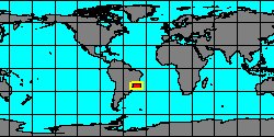
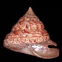
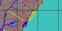
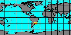
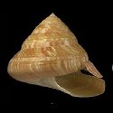
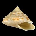
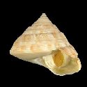
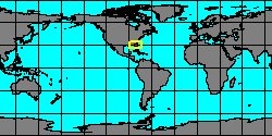
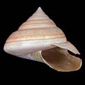
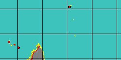
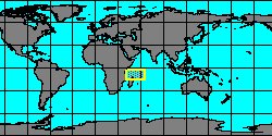
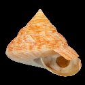
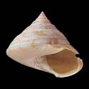
------ Family: PLEUROTOMARIIDAE Swainson, 1840 (Sea)
DB counters: Genus=26, Subgenus=2, Species=283, Subspecies=9 ( 83 Species and 6 Subspecies have images) DB counters include Fossil taxa: Species=249, Subspecies=4 |

|
| ||||||||||||||||||||||||||||||||||||||||||||||||||||||||||||||||||||||||||||||||||||||||||||||||||||||||||||||||||||||||||||||||||||||||||||||||||||||||||||||||||||||||||||||||||||||||||||||||||||||||||||||||||||||||||||||||||||||||||||||||||||||||||||||||||||||||||||||||||||||||||||||||||||||||||||||||||||||||||||||||||||