|
 |
 |
 |
| FAMILY list (thumbnails) |
 |
 |
 |
 |
| FAMILY list (names only) |
 |
 |
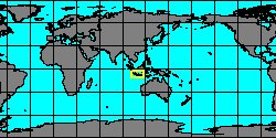
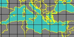
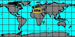
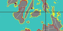
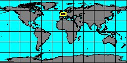
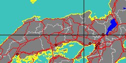
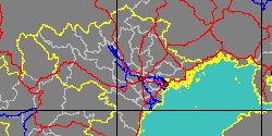
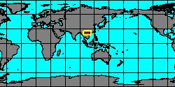
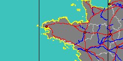
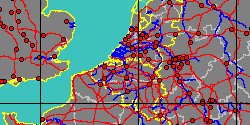
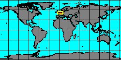
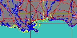
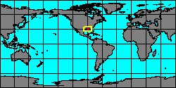
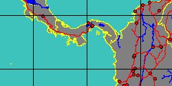
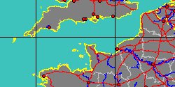
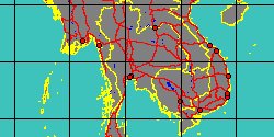
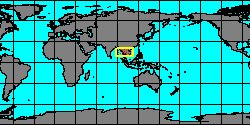
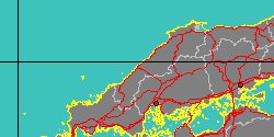
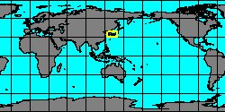
| POTAMIDIDAE (geographic) |
 |
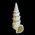
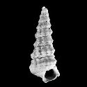
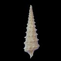
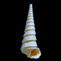
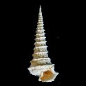
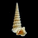
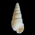
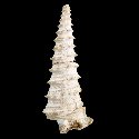
| POTAMIDIDAE (thumbnails) |
|
|
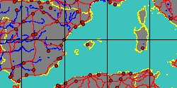
| POTAMIDIDAE (thumb+maps) |
|
|
| POTAMIDIDAE (names only) |
|
|
| POTAMIDIDAE (no synonyms) |
|
|
| POTAMIDIDAE (no variety) |
|
|
Class: GASTROPODA
--- Taxon Tree: CAENOGASTROPODA [Subclass] - CERITHIOIDEA [Superfamily]
|
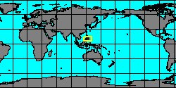
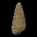
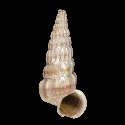
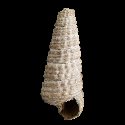
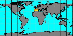
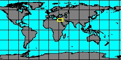
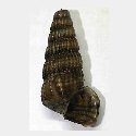
------ Family: POTAMIDIDAE H. & A. Adams, 1854 (Sea)
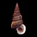
DB counters: Genus=33, Subgenus=3, Species=237, Subspecies=49 ( 141 Species and 32 Subspecies have images) DB counters include Fossil taxa: Species=178, Subspecies=19 |

|
| ||||||||
| ||||||||
| ||||||||
| ||||||||
| ||||||||
| ||||||||
| ||||||||
| ||||||||
| ||||||||
| ||||||||
| ||||||||
| ||||||||
| ||||||||
| ||||||||
| ||||||||
| ||||||||
| ||||||||
| ||||||||
| ||||||||
| ||||||||
| ||||||||
| ||||||||
| ||||||||
|