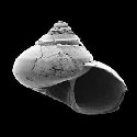
Genus: Archiminolia T. Iredale, 1929 (syn: Archminolia - DB: 14 SP, 7 IMG)
|
|
|
|
|
|
|
|
|
|
|
|
|
|
Genus: Arxellia C. Vilvens, S.T. Williams & D.G. Herbert, 2014 (DB: 9 SP, 1 IMG)
|
|
|

|
|
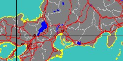
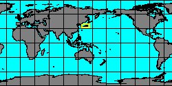
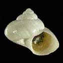
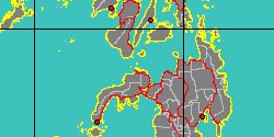
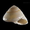
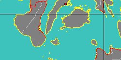
5196000062
Arxellia
boucheti
C. Vilvens, S.T. Williams
& D.G. Herbert, 2014
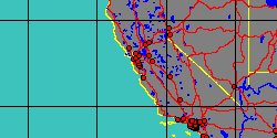
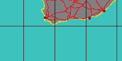
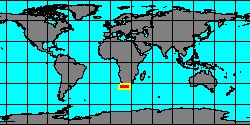
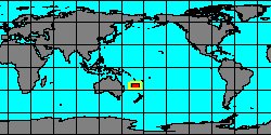
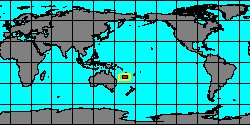
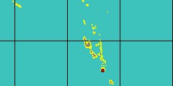
New Caledonia, Banc Introuvable
|
|

|
|
|
|
|
|
|
|
|
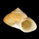
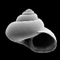
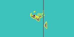
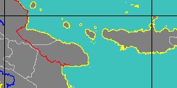
5196000159
Arxellia
helicoides
C. Vilvens, S.T. Williams
& D.G. Herbert, 2014
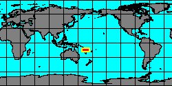
Papua New Guinea, Manus Island
|
|
|
|
|
|
|
|
|
|
5196000160
Arxellia
herosae
C. Vilvens, S.T. Williams
& D.G. Herbert, 2014
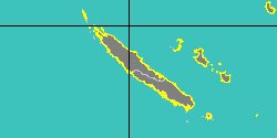
New Caledonia
|
|
|
|
|
|
|
|
|
|
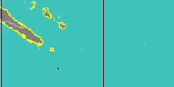
5196000161
Arxellia
maestratii
C. Vilvens, S.T. Williams
& D.G. Herbert, 2014
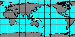
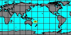
Vanuatu Island, New Hebrides
|
|
|
|
|
|
|
|
|
|
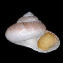
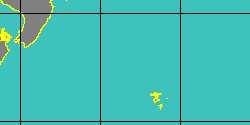
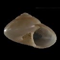
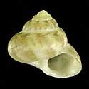
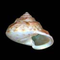
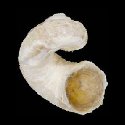
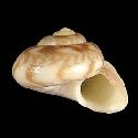
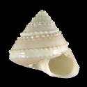
5060000559
Arxellia
tenorioi
(G.T. Poppe, S.P. Tagaro
& H. Dekker, 2006)
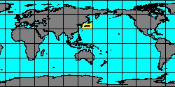
Philippines, Balicasag Island
5,8 mm
|
|
|
|

|
|
|
|
|
|
5196000162
Arxellia
thaumasta
C. Vilvens, S.T. Williams
& D.G. Herbert, 2014
|
|
No Georeferenced data available
|
|
|
|
|
|
|
|
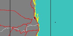
5196000163
Arxellia
tracheia
C. Vilvens, S.T. Williams
& D.G. Herbert, 2014
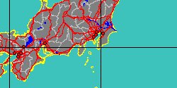
Papua New Guinea, Vitiaz strait
|
|
|
|
|
|
|
|
|
|
5196000164
Arxellia
trochos
C. Vilvens, S.T. Williams
& D.G. Herbert, 2014
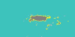
New Caledonia, Banc de Orne
|
|
|
|
|
Genus: Bathymophila W.H. Dall, 1881 (syn: Ethaliopsis - DB: 10 SP, 2 IMG)
|
|
|
|
|
|
|
|
|
|
Genus: Hazuregyra T. Shikama, 1962 (DB: 1 SP, 1 IMG)
|
Genus: Ilanga D.G. Herbert, 1987 (DB: 22 SP, 13 IMG)
|
« Previous 1
2
3
4
5
6
7
8
9
Next
»
|
|
| | | |