|
|
|
|
|
|
|
|
|

|
|
5060000499
Trochus
kochii
P.M. Pallary, 1900
|
|
No Georeferenced data available
|
|
|
|
|
|
|
|
|
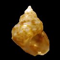
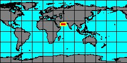
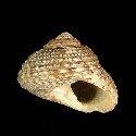
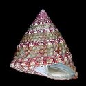
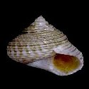
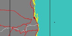
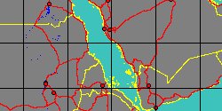
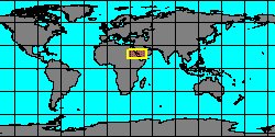
5060000193
Clanculus
korkosi
B.S. Singer, H.K. Mienis
& D.L. Geiger, 2000
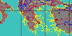
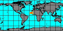
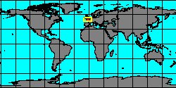
Red Sea
12 mm
|
|
|
|
|
|
|
|
|
|
|
|
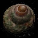
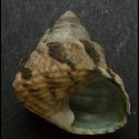
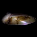
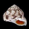
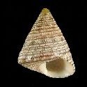
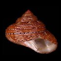
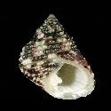
5060000705
Monodonta
labio
(C. Linnaeus, 1758)
Philippines, Samar Island
39 mm
|
|
|
|
|
|
|
|
|
|

|
|
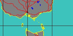
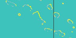
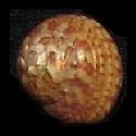
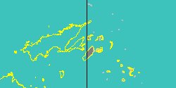
5877000133
Trochus
laevis
(FOSSIL)
Sowerby, 1846 †
Canada, Quebec, Anticosti Island
|
|
|
|
|
|
|
|
|
|
|

|
|
5060000949
Trochus
lamprus
R.B. Watson, 1881
|
|
No Georeferenced data available
|
|
|
|
|
|
|
|
|
|
|
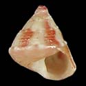
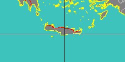
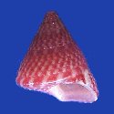
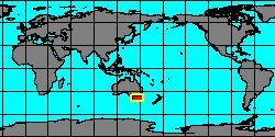
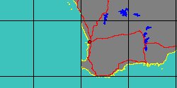
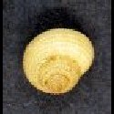
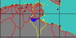
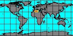
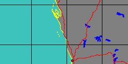
5060000191
Clanculus
laurae
A. Cecalupo, G. Buzzurro
& M. Mariani, 2008
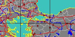
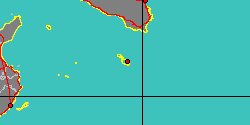
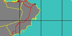
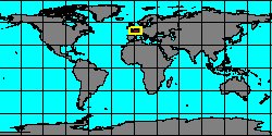
Tunisia, Gulf Gabes
7 mm
|
|
|
|
|
|
|
|
|
|
|
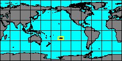
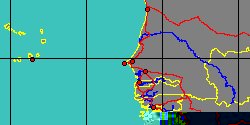
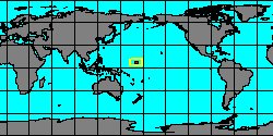
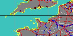
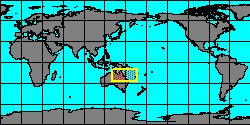
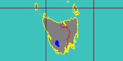
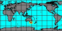
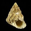
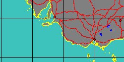
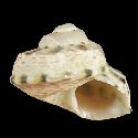
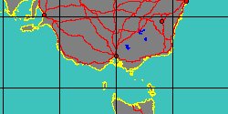
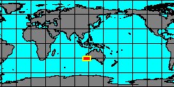
7406000045
Gibbula
lehmanni
(FOSSIL)
(K.T. Menke, 1843 †)
West Australia, Northhampton
|
|
|
|

|
|
|
|
|
|
|
|
|
|
|