|
 |
 |
 |
| FAMILY list (thumbnails) |
 |
 |
 |
 |
| FAMILY list (names only) |
 |
 |
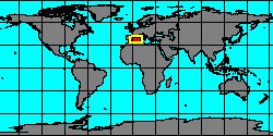
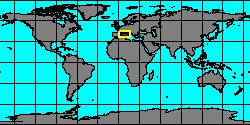
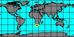
| TROCHIDAE (geographic) |
 |
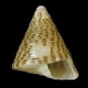
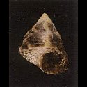
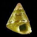
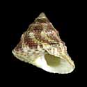
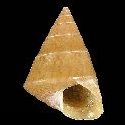
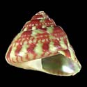
| TROCHIDAE (thumbnails) |
|
|
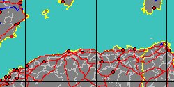
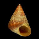
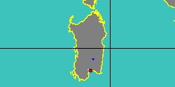
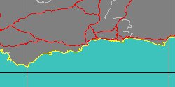
| TROCHIDAE (thumb+maps) |
|
|
| TROCHIDAE (names only) |
|
|
| TROCHIDAE (no synonyms) |
|
|
| TROCHIDAE (no variety) |
|
|
Class: GASTROPODA
--- Taxon Tree: VETIGASTROPODA [Subclass] - TROCHOIDEA [Superfamily]
|
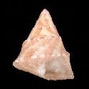
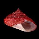
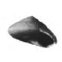
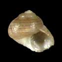
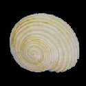
------ Family: TROCHIDAE Rafinesque, 1815 (Sea)
DB counters: Genus=115, Subgenus=8, Species=931, Subspecies=78 ( 550 Species and 51 Subspecies have images) DB counters include Fossil taxa: Species=240, Subspecies=3 |

|
| ||||||||
| ||||||||
| ||||||||
| ||||||||
| ||||||||
| ||||||||
| ||||||||
| ||||||||
| ||||||||
| ||||||||
| ||||||||
| ||||||||
| ||||||||
| ||||||||
| ||||||||
| ||||||||
| ||||||||
| ||||||||
| ||||||||
| ||||||||
| ||||||||
| ||||||||
| ||||||||
| ||||||||
| ||||||||
| ||||||||
| ||||||||
| ||||||||
| ||||||||
| ||||||||
| ||||||||
| ||||||||
| ||||||||
| ||||||||
|