|
|
|
|

|
|
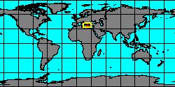
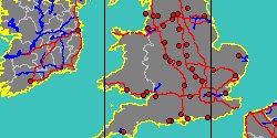
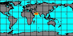
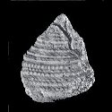
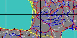
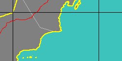
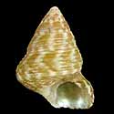
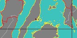
7406000042
Gibbula
eichwaldi
(FOSSIL)
A.E.M. Cossmann
& M.A. Peyrot, 1916 †
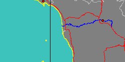
France, Aquitaine
|
|
|
|
|
|
|
|
|
|
|
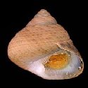
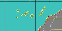
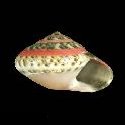
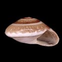
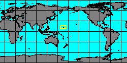
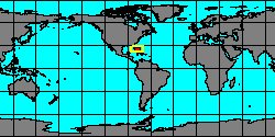
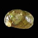
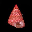
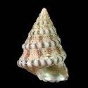
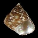
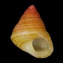
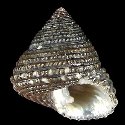
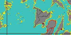
5060000419
Gibbula
eikoae
G.T. Poppe, S.P. Tagaro
& H. Dekker, 2006
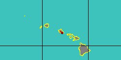
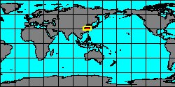
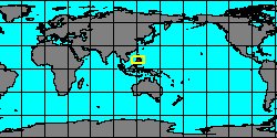
China, Zhejiang
22 mm
|
|
|
|
|
|
|
|
|
|
|
|
|
|
|
|
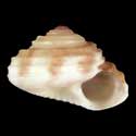
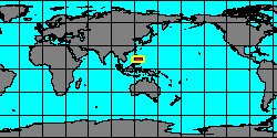
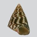
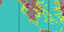
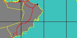
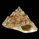
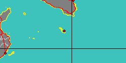
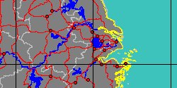
5234000205
Jujubinus
eleonorae
C. Smriglio, A. Di Giulio
& P. Mariottini, 2014
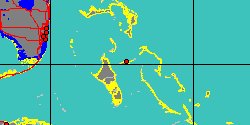
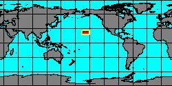
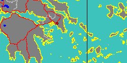
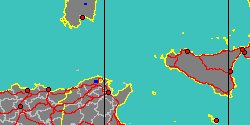
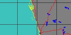
West of Sicily Island,
Skerki bank
6 mm
|
|
|
|
|
|
|
|
|
|
|
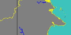
5877000072
Beraua
elkeae
(FOSSIL)
M. Harzhauser, 2007 †
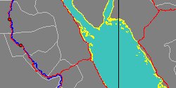
Oman, Al Wusta, Al Wusta
|
|
|
|
|
|
|
|
|
|
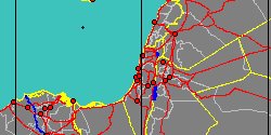
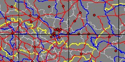
5877000126
Trochus
ellipticus
(FOSSIL)
G.A. Goldfuss, 1844 †
|
|
No Georeferenced data available
|
|
|
|
|
|
|

|
|
5060000309
Ethminolia
elveri
B.C. Cotton
& F.C. Godfrey, 1938
|
|
No Georeferenced data available
|
|
|
|
|
|
|
|
|
5877000073
Beraua
erinaceus
(FOSSIL)
(C. Beets, 1941 †)
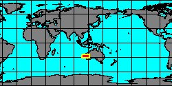
Indonesia, Kalimantan Timur,
Kutai Timur
|
|
|
|
|
|
|
|
|
|
|
7434000002
Jujubinus
errinae
C. Smriglio, P. Mariottini
& Giacobbe, 2016
|
|
No Georeferenced data available
|
|
|
|
|
|
|
|
|
|
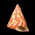
5060000513
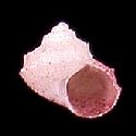
Jujubinus
escondidus
G.T. Poppe, S.P. Tagaro
& H. Dekker, 2006
Philippines, Mactan Island
7,8 mm
|
|
|
|

|
|
|
|
|
|
5060000210
Clanculus
escondidus
G.T. Poppe, S.P. Tagaro
& C. Vilvens, 2009
Philippines, Panay Island
8,6 mm
|
|
|
|
|
|
|
|
|
|
|
|
|
|
7406000061
Monilea
euclenzis
(FOSSIL)
N.H. Ludbrook, 1978 †
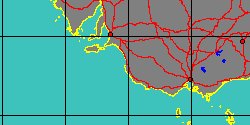
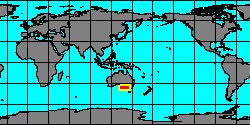
West Australia, Northhampton
|
|
|
|
|
|
|
|
|
|
7434000057
Gibbula
euomphala
(FOSSIL)
(R.A. Philippi, 1836 †)
|
|
No Georeferenced data available
|
|
|
|
|
|
|
|