|
 |
 |
 |
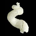
| FAMILY list (thumbnails) |
 |
 |
 |
 |
| FAMILY list (names only) |
 |
 |
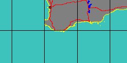
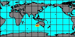
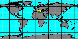
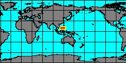
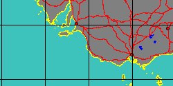
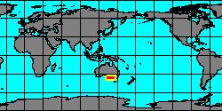
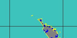
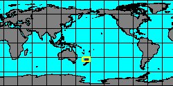
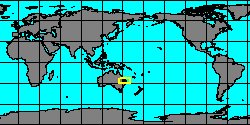
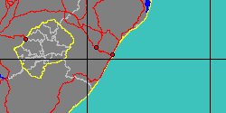
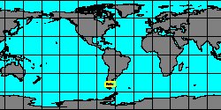
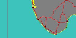
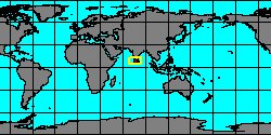
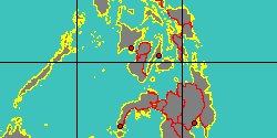
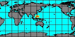
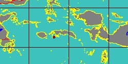
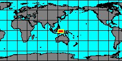
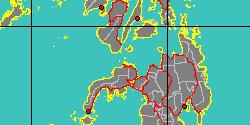
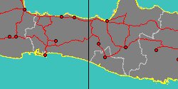
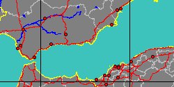
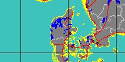
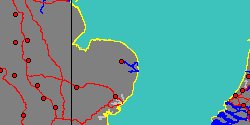
| SILIQUARIIDAE (geographic) |
 |
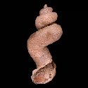
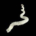
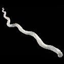
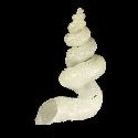
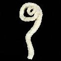
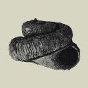
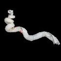
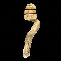
| SILIQUARIIDAE (thumbnails) |
|
|
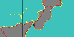
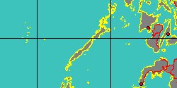
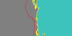
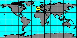
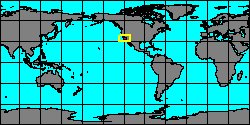
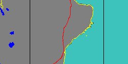
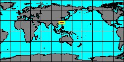
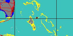
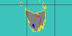
| SILIQUARIIDAE (thumb+maps) |
|
|
| SILIQUARIIDAE (names only) |
|
|
| SILIQUARIIDAE (no synonyms) |
|
|
| SILIQUARIIDAE (no variety) |
|
|
Class: GASTROPODA
--- Taxon Tree: CAENOGASTROPODA [Subclass] - CERITHIOIDEA [Superfamily]
|
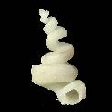
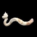
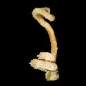
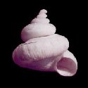
------ Family: SILIQUARIIDAE Anton, 1838 (Sea)
DB counters: Genus=4, Subgenus=0, Species=50, Subspecies=1 ( 28 Species and 1 Subspecies have images) DB counters include Fossil taxa: Species=18, Subspecies=1 |
| |||||||||||||||||||||||||||||||||||||||||||||||||||||||||||||||||||||||||||||||||||||||||||||||||||||||||||||||||||||||||||||||||||||||||||||||||||||||||||||||||||||||||||||||||||||||||||||||||||||||||||||||||||||||||||||||||||||||||||||||||||||||||||||||||||||||||||||||||||||||||||||||||||||||||||||||||||||||
| |||||||||||||||||||||||||||||||||||||||||||||||||||||||||||||||||||||||||||||||||||||||||||||||||||||||||||||||||||||||||||||||||||||||||||||||||||||||||||||||||||||||||||||||||||||||||||||||||||||||||||||||||||||||||||||||||||||||||||||||||||||||||||||||||||||||||||||||||||||||||||||||||||||||||||||||||||||||