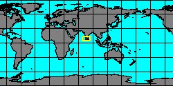
SubFamily: CERITHIINAE - Genus: Cerithium J.G. Bruguière, 1789 (syn: Contumax, Drillocerithium, Gourmierium, Hirtocerithium, Pithocerithium, Pliocerithium, Procerithium, Ptychocerithium, Stomocerithium, Stomothericium, Thericium, Vulgocerithium, Vulgocerithiium, Conocerithium, Bayercerithium, Gladiocerithium, Bayericerithium - DB: 278 SP, 216 IMG)
|
|
|
|
|
|
|
|
|
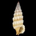
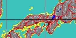
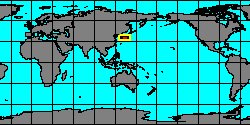
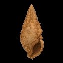
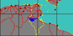
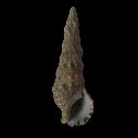
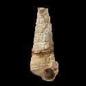
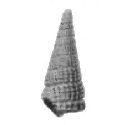
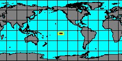
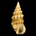
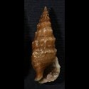
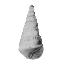
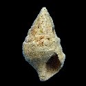
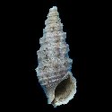
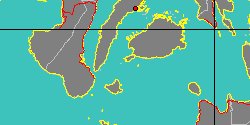
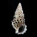
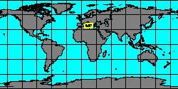
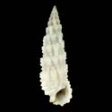
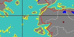
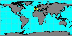
1150000240
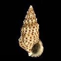
Cerithium
protractum
Ant. Bivona-Bernardi in And. Bivona-Bernardi, 1838
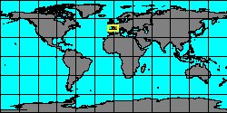
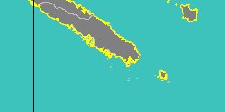
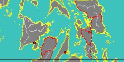
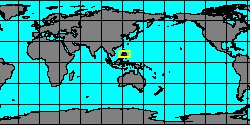
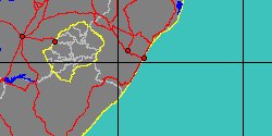
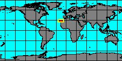
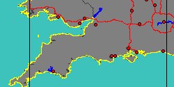
Turkey, Bozcaada Island
39 mm
|
|
|
|
|
|
|
|
|
|
|
|
|
|
|
|
|

|
|
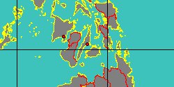
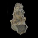
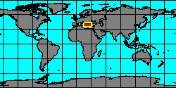
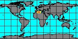
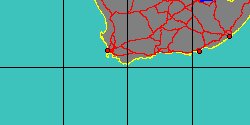
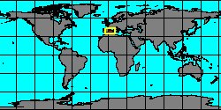
6322000426
Cerithium
raulini
(FOSSIL)
J.P.S. Grateloup, 1840 †
|
|
No Georeferenced data available
|
|
|
|
|
|
|
|
|
|
|
|
|
|
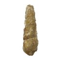
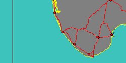
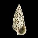
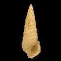
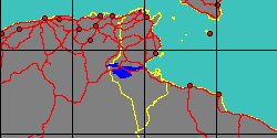
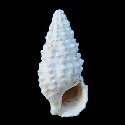
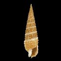
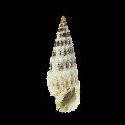
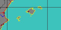
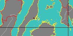
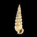
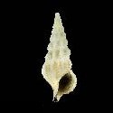
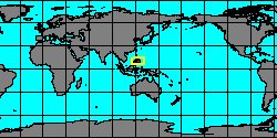
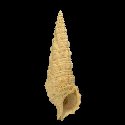
1150000250
Cerithium
rostratum
A. Adams in G.B. II Sowerby, 1855
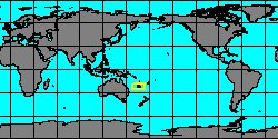
Philippines, Olango Island
14 mm
|
|
|
|
|
|
|
|
|
|
|
|
|
|
|
|
|
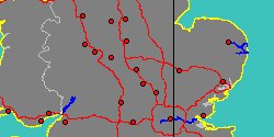
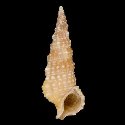
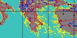
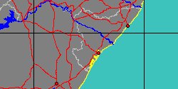
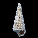
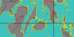
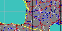
6108000076
Cerithium
salmo
(FOSSIL)
B. de Basterot, 1825 †
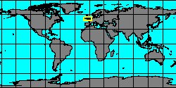
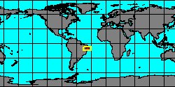
France, Aquitaine
38 mm
|
|
|
|
|
|
|
|
|
|
|
«
Previous
1
2
3
4
5
6
7
8
9
10
11
12
13
14
15
16
17
18
19
20
21
22
Next
»
|