Genus: Granata B.C. Cotton, 1957 (DB: 8 SP, 7 IMG)
|
|
|
|
|
|
|
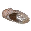
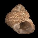
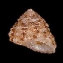
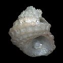
5058000185
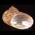
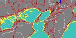
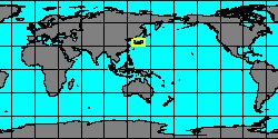
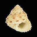
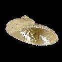
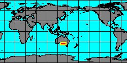
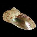
Granata
imbricata
(J.B.P.A. Lamarck, 1816)
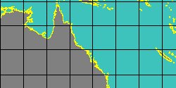
Australia, Yorke Peninsula
27 mm
|
|
|
|
|
|
|
|
|
|
|
|
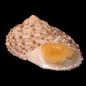
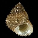
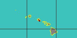
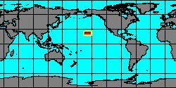
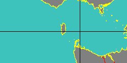
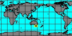
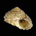
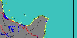
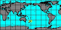
5058000183
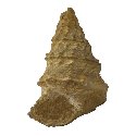
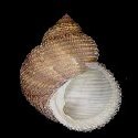
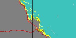
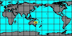
Granata
maculata
(J.R.C. Quoy
& J.P. Gaimard, 1834)
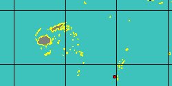
Australia, Capricorn Channel
26,3 mm
|
|
|
|
|
|
|
|
|
|
|
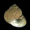
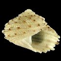
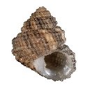
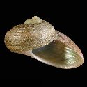
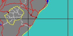
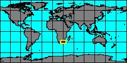
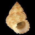
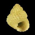
5058000181
Granata
sulcifera
(J.B.P.A. Lamarck, 1822)
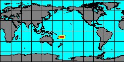
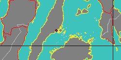
South Africa, Natal, Durban Bay
22 mm
|
|
|
|
|
Genus: Hamusina Gemellaro, 1878 † (syn: Chilodontina, Chilodontini, Polydontinae - DB: 3 SP, 2 IMG)
|
|
|

|
|
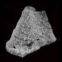
7388000014
Hamusina
damesi
(FOSSIL)
C. Gemmellaro, 1894 †
|
|
No Georeferenced data available
|
|
|
|
|
|
|
|
|
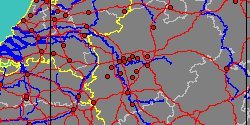
5636000010
Hamusina
kahrsi
(FOSSIL)
K. Bandel, 1993 †
Germany, Nordrhein-Westfalen,
Mülheim an der Ruhr
|
|
|
|
|
|
Genus: Herpetopoma H.A. Pilsbry, 1890 (syn: Herpretopoma, Herpetotoma - DB: 40 SP, 23 IMG)
|
|
|
|
|
|
|
|
|
5058000210
Herpetopoma
barbieri
G.T. Poppe, S.P. Tagaro
& H. Dekker, 2006
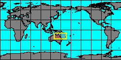
Philippines, Mactan Island
10,7 mm
|
|
|
|
|
|
|
|
|
|
5058000209
Herpetopoma
bella
(F.W. Hutton, 1873)
New Zealand, North Island,
East Cape
4,1 mm
|
|
|
|
|
|
|
|
|
|
|
|
|
|
|
|
|
|
|
|
|
|
|
|
|
|
5058000197
Herpetopoma
naokoae
G.T. Poppe, S.P. Tagaro
& H. Dekker, 2006
Philippines, Mactan Island
3,2 mm
|
|
|
|
|
|
«
Previous
1
2
3
4
5
6
Next
»
|
|
| |