Genus: Herpetopoma H.A. Pilsbry, 1890 (syn: Herpretopoma, Herpetotoma - DB: 40 SP, 23 IMG)
|
|
|
|
|
|
|
|
|
|
|
|
|
|
|
|
|
Genus: Hybochelus H.A. Pilsbry, 1899 (DB: 2 SP, 1 IMG)
|
|
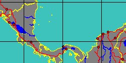
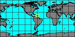
Genus: Mirachelus W.P. Woodring, 1928 (DB: 6 SP, 3 IMG)
|
|
|
|
|
|
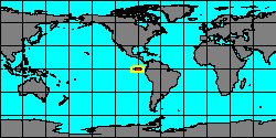
Genus: Perrinia H. Adams & A. Adams, 1854 (syn: Tectaria - DB: 16 SP, 11 IMG)
|
|
|
|
|
|
|
|
|
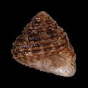
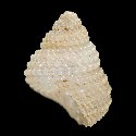
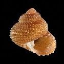
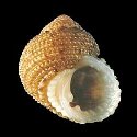
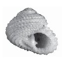
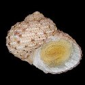
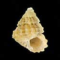
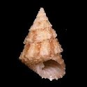
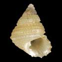
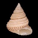
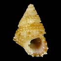
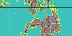
5060000987
Perrinia
cecileae
G.T. Poppe, S.P. Tagaro
& H. Dekker, 2006
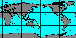
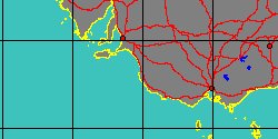
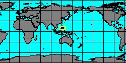
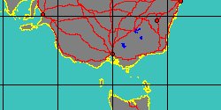
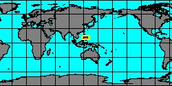
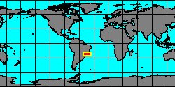
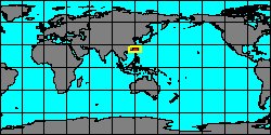
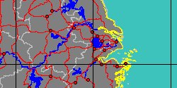
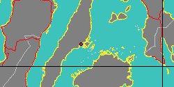
Philippines, Mactan Island
5,8 mm
|
|
|
|

|
|
|
|
|
|
|
|
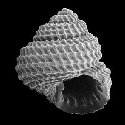
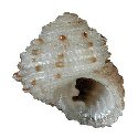
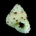
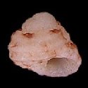
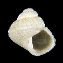
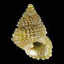
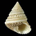
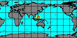
5060000986
Perrinia
docili
G.T. Poppe, S.P. Tagaro
& H. Dekker, 2006
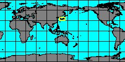
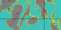
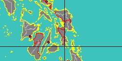
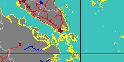
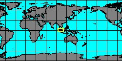
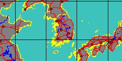
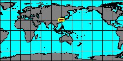
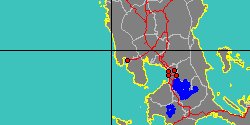
Philippines, Hadsan
5,5 mm
|
|
|
|
|
|
|
|
|
|
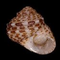
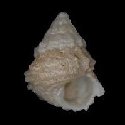
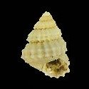
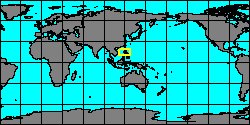
5060000985
Perrinia
elisa
(A.A. Gould, 1849)
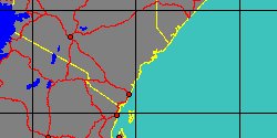
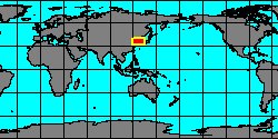
Philippines, Aliguay Island
16,4 mm
|
|
|
|
|
|
|
«
Previous
1
2
3
4
5
6
Next
»
|
|
| | |