|
|
|

|
|
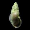
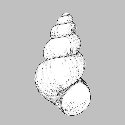
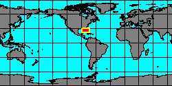
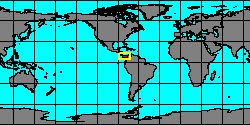
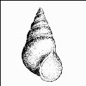
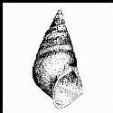
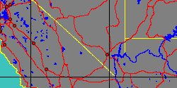
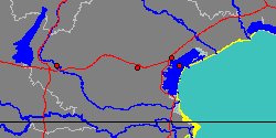
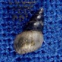
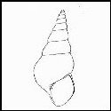
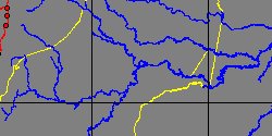
5372001682
Tryonia
acicularis
(FOSSIL)
Nuttall, 1990 †
Peru, Loreto,
Mariscal Ramón Castilla
|
|
|
|
|
|
|
|
|
|
|

|
|
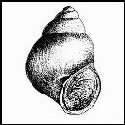
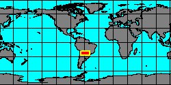
5208000145
Heleobia
adamsi
(H.B. Preston, 1912)
|
|
No Georeferenced data available
|
|
|
|
|
|
|
|
|
|
|
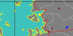
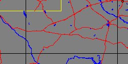
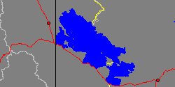
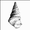
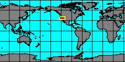
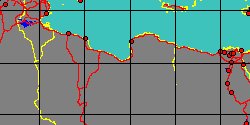
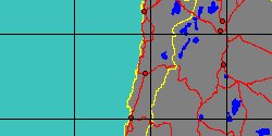
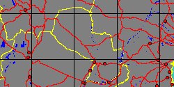
5208000231
Tryonia
allendae
R. Hershler, H.P. Liu
& J.J. Landye, 2011
Mexico, Chihuahua
|
|
|
|

|
|
|
|

|
|
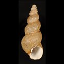
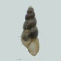
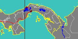
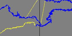
5208000215
Dyris
amazonicus
(F. Haas, 1949)
Brazil
|
|
No Georeferenced data available
|
|
|
|
|
|
|
|
|
|
|
|
|
|
|
|
|
|
|
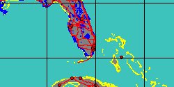
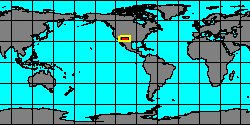
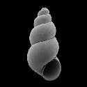
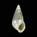
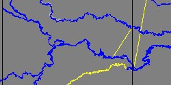
5372001613
Dyris
ariei
(FOSSIL)
Wesselingh, 2006 †
Peru, Loreto,
Mariscal Ramón Castilla
|
|
|
|
|
|
|
|
|
|
|
|
|
|
|
|
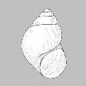
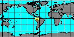
5372001659
Sioliella
bella
(FOSSIL)
(T.A. Conrad, 1871 †)
Peru, Loreto,
Mariscal Ramón Castilla
|
|
|
|
|
|
|
|
|
|
|