|
|
|
|
|
|
|
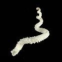
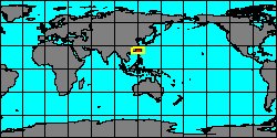
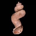
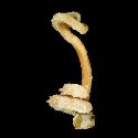
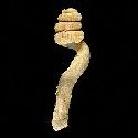
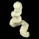
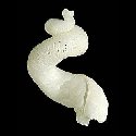
1320000005
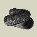
Tenagodus
armatus
(T. Habe & S. Kosuge,
1967)
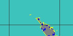
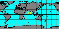
Philippines, Palawan Island
28,4 mm
|
|
|
|
|
|
|
|
|
|
|
|
|
|
|
|
|
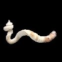
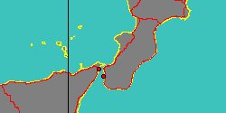
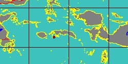
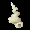
1320000010
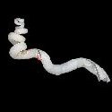
Tenagodus
chuni
(K.H.J. Thiele, 1925)
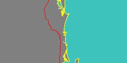
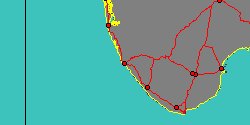
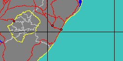
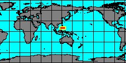
South Africa, Natal, Durban Bay
14,5 mm
|
|
|
|
|
|
|
|

|
|
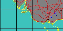
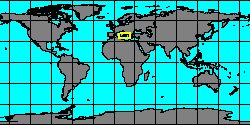
6231050025
Tenagodus
cossmani
(FOSSIL)
H.F.A. von Ihering,
1907 †
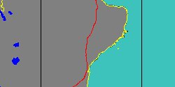
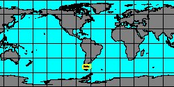
Argentina, Santa Cruz, Magallanes
|
|
|
|
|
|
|
|
|
|
|
|
|
|
|

|
|
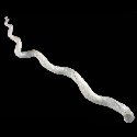
1320000020
Tenagodus
lacteus
(J.B.P.A. Lamarck, 1818)
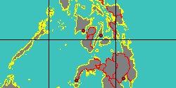
Philippines, Negros Island
122,1 mm
|
|
|
|
|
|
|
|
|
|
|
|
|
|
|
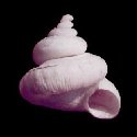
1320004090
Tenagodus
norai
(L. Bozzetti, 1998)
Philippines, Aliguay Island
38 mm
|
|
|
|
|
|
|
|
|
|
|
|
|
|
6231050031
Tenagodus
parva
(FOSSIL)
Speyer, 1869 †
United Kingdom, England, Norfolk
|
|
|
|
|
|
|
|
|